Enable Location

We need your location to show you interesting places around you

Discover nearby places

Find interesting locations and hidden gems around you

Precise directions

Get accurate directions and distances to places

Your location is never shared with other users. It's only used when you tap the location button.

Pic de Cimbeils

Log in to your account

Start exploring — it's free

Trusted by 61,320 travelers worldwide

Continue with Google
Continue with Apple
or

We will send you a code to connect

By continuing, you accept our Terms and Conditions and our Privacy Policy

Check your inbox

We've sent a pincode in your inbox. Please enter the code below.

Pic de Cimbeils

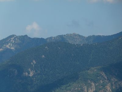
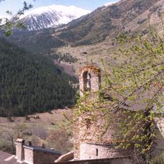
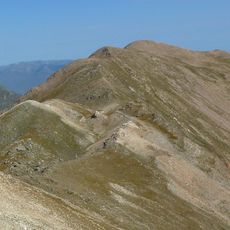
Pic de Cimbeils, Mountain summit in Thuès-Entre-Valls, France.

Description

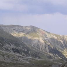
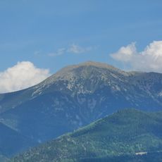
Pic de Cimbeils is a mountain in the French Pyrenees reaching approximately 2,280 meters (7,480 feet) and displaying different rock formations along its slopes. The varied geological layers become visible as you climb higher and shift with each elevation zone.

History

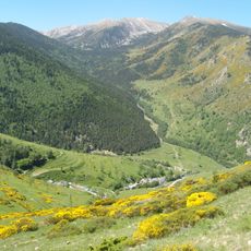
The mountain paths surrounding Pic de Cimbeils were created by shepherds who seasonally moved their flocks between valleys in search of grazing land. These old routes document centuries of pastoral movement through the region.

Culture

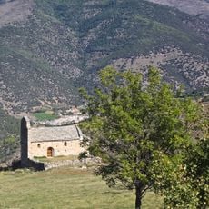
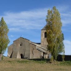
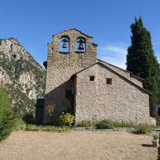
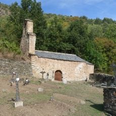
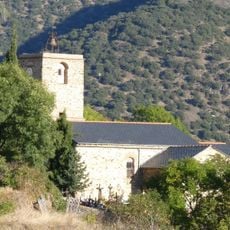
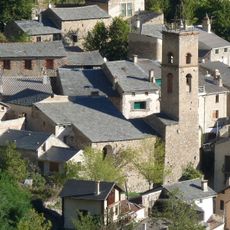
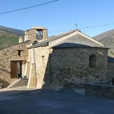
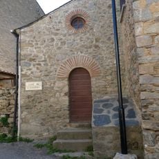
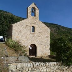
The mountain holds a place in local narratives told by shepherds and valley residents who have shaped the landscape over generations. This connection between people and the land remains visible in how the surrounding paths and settlements relate to the peak.

Practical

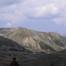
Several marked trails reach the summit with starting points available from both Thuès-Entre-Valls and Nyer villages and accessible year-round. Trail conditions change with the seasons, so checking local weather before you go helps you prepare properly.

Did you know?

The summit creates its own microclimate with specific conditions in the highest zones. This environment allows plant species adapted to extreme altitude to thrive and they can be found nowhere else in the surrounding landscape.

Location
Elevation above the sea
2,280 m
GPS coordinates
42.49457,2.26138
Latest update
December 15, 2025 13:29

AroundUs brings together thousands of curated places, local tips, and hidden gems, enriched daily by 60,000 contributors worldwide. Discover all places nearby (Thuès-Entre-Valls).

« Pic de Cimbeils - Mountain summit in Thuès-Entre-Valls, France » is provided by Around Us (aroundus.com). Images and texts are derived from Wikimedia project under a Creative Commons license. You are allowed to copy, distribute, and modify copies of this page, under the conditions set by the license, as long as this note is clearly visible.

Discover hidden gems everywhere you go!

From secret cafés to breathtaking viewpoints, skip the crowded tourist spots and find places that match your style. Our app makes it easy with voice search, smart filtering, route optimization, and insider tips from travelers worldwide. Download now for the complete mobile experience.

Around Us App Screenshot

A unique approach to discovering new places

Le Figaro

All the places worth exploring

France Info

A tailor-made excursion in just a few clicks

20 Minutes

Around Us
Travel Guide & Maps
Download

Send to your phone

QR Code
1

Open the camera app on your mobile.

2

Point at the QR code with your camera. A notification will appear.

3

Tap the notification to open the link.