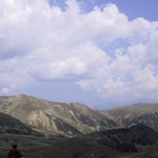
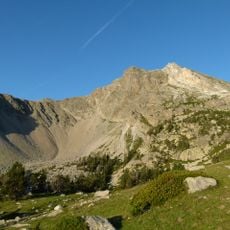
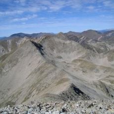
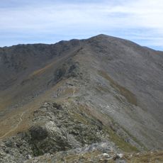
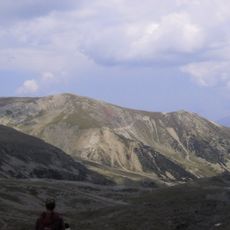
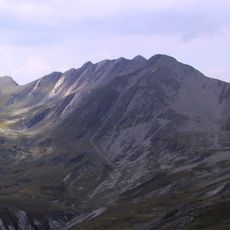
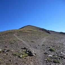
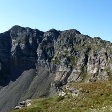
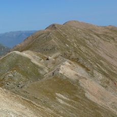
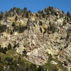
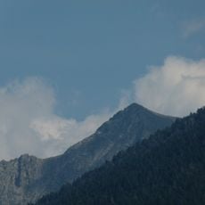
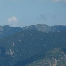
Pic Redoun, Mountain summit in Fontpédrouse, France
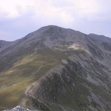
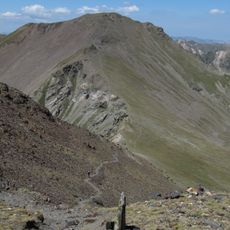
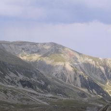
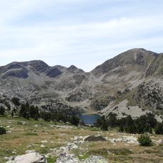
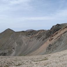
Pic Redoun, also known as Puig Rodon, is a 2,674.2-metre mountain on a northern spur of the main Pyrenean axis in the commune of Fontpédrouse, Conflent, northern Catalonia. It stands on the ridge separating the Riberola valley to the north-west from the Carançà torrent valley to the south-east, north-east of the Piló de la Xemeneia and south-west of the Serra de les Torres.
The sources record no historical events, dates or pastoral traditions for Pic Redoun; the summit appears only as a topographic point, 2,471 m in the French source and 2,674.2 m in the Catalan one, on the ridge between the Riberola and Carançà valleys. Its documented record is cartographic rather than historical, and the two figures disagree by about 200 m.
The name Pic Redoun, or Puig Rodon in Catalan, means "round peak", describing the mountain's rounded summit. The peak lies on the ridge between the Riberola valley to the north-west and the Torrent de Carançà to the south-east, in the commune of Fontpédrouse, Conflent, northern Catalonia.
The summit lies on the ridge between the Riberola valley to the northwest and the Carançà torrent to the southeast, northeast of the Piló de la Xemeneia and southwest of the Serra de les Torres. The nearest town, Osséja, is about 19 km to the east. Approach from the Fontpédrouse side of the communal territory.
The summit lies on the ridge separating the Riberola valley to the northwest from the Carançà torrent to the southeast, northeast of the Piló de la Xemeneia and southwest of the Serra de les Torres. The Catalan Wikipedia gives 2,674.2 m, while the Cebuano Wikipedia entry for Pic Redoun states 2,471 m; the nearest larger peak, 2,698 m, stands 2.4 km to the southwest.
The community of curious travelers
AroundUs brings together thousands of curated places, local tips, and hidden gems, enriched daily by 93,135 contributors worldwide.