Pic de l'Infern, Mountain peak in Fontpédrouse, France
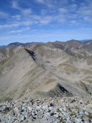
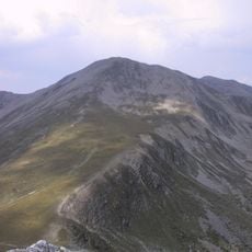
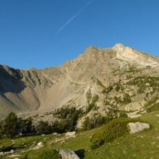
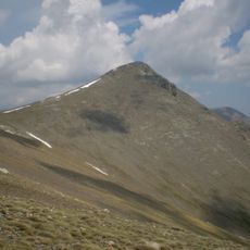
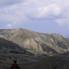
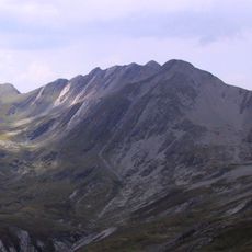
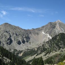
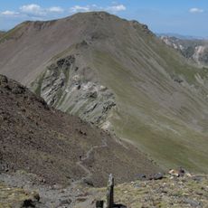
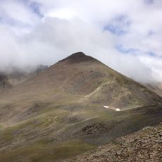
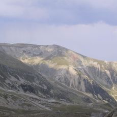
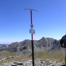
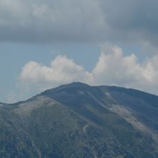
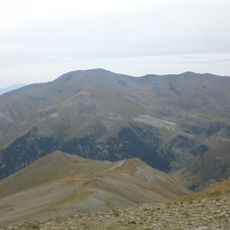
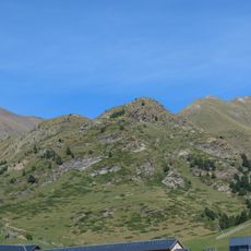
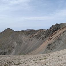
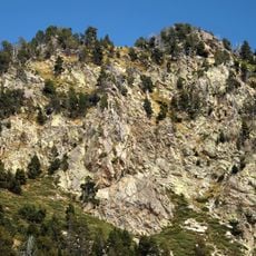
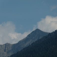
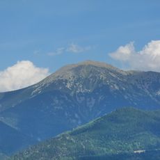
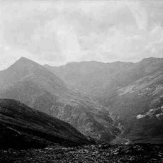
Pic de l'Infern is a mountain peak in the eastern Pyrenees standing at about 2,870 meters with steep rocky faces on its upper slopes. The summit forms a prominent point in this rugged high mountain region where France and Spain meet.
The mountain has served as a natural boundary marker between France and Spain for centuries, shaping how these territories divided the Pyrenees. This role made it geographically significant for both nations.
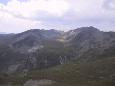
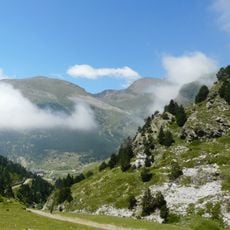
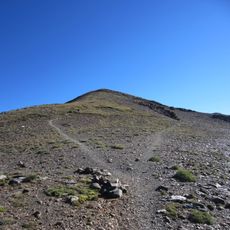
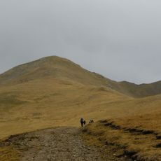
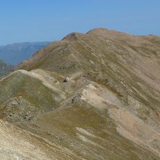
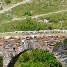
Local mountaineers have maintained traditional hiking routes to the summit for generations, following paths that reflect how shepherds once moved through these mountains. These trails reveal the deep connection between the pastoral heritage and the landscape.
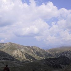
The climb requires proper mountain gear and takes about six hours round trip from the nearest parking area. Weather conditions change quickly at this elevation, so starting early in the day and checking the forecast beforehand is important.
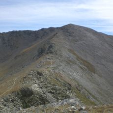
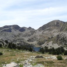
On clear days the views stretch from the Mediterranean Sea to the central Pyrenees, spanning territories of both France and Spain. This rare sweeping vista makes the summit especially rewarding on days with good visibility.
The community of curious travelers
AroundUs brings together thousands of curated places, local tips, and hidden gems, enriched daily by 60,000 contributors worldwide.