Pic de la Dona, Mountain summit in Pyrenees, France and Spain
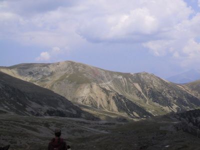
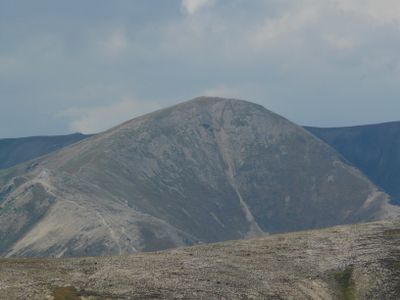
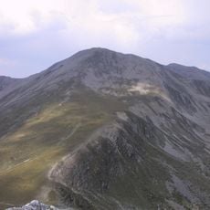
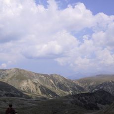
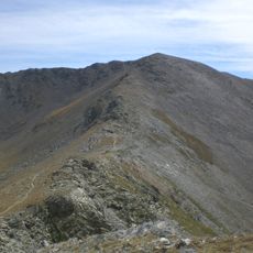
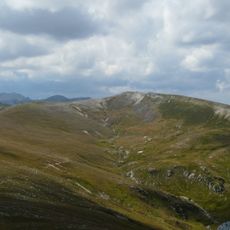
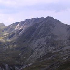
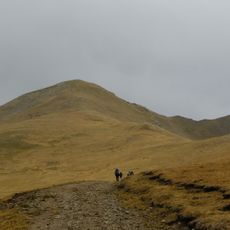
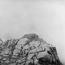
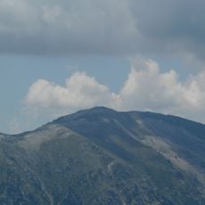
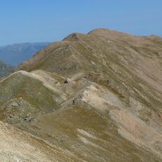
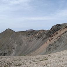
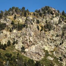
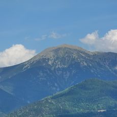
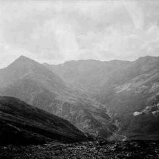
Pic de la Dona is a mountain summit in the Pyrenees standing at approximately 2,700 meters between France and Spain. The peak features gentle slopes without steep sections and sits within the Coma de la Dona mountain range above the surrounding valleys.
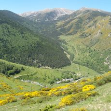
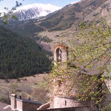
The mountain has long served as a natural border between France and Spain, shaping the landscape of this region. Its location has made it an important reference point for people on both sides of the frontier.
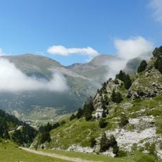
Hikers and mountaineers use this peak as part of their journeys across the Pyrenees, with established paths linking mountain refuges throughout the area. These routes serve as important connections between different valleys and communities on both sides of the border.
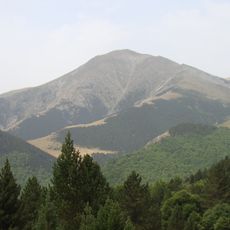
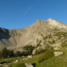
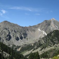
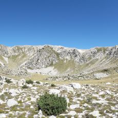
The hike begins at approximately 2,200 meters near Vallter 2000 ski resort and takes about two hours via mountain forest trails to reach the summit. The terrain is manageable in proper hiking boots, though weather at this elevation can change quickly.
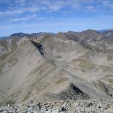
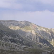
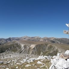
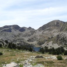
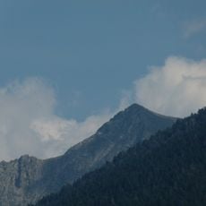
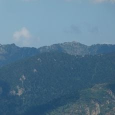
From the summit, two other well-known peaks are visible: Costabona and Carlit dominate the panorama from this point. The gentle contours make this viewpoint particularly good for clear vistas across the mountain range.
The community of curious travelers
AroundUs brings together thousands of curated places, local tips, and hidden gems, enriched daily by 60,000 contributors worldwide.