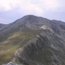
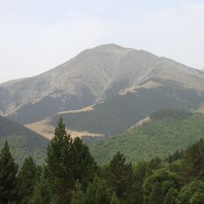
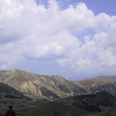
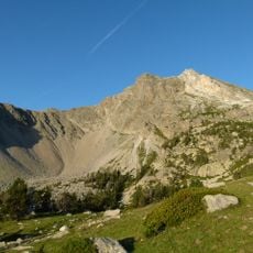
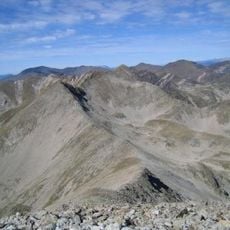
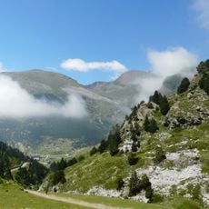
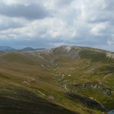
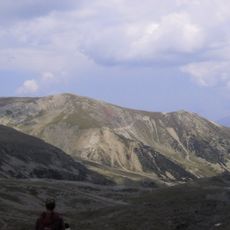
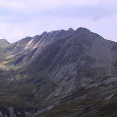
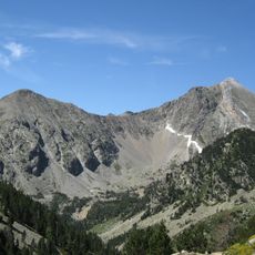
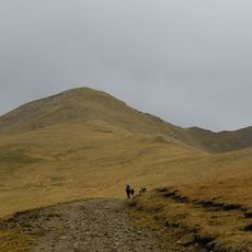
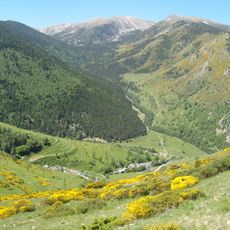
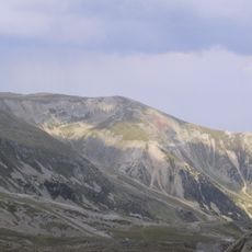
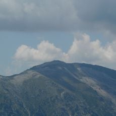
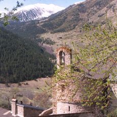
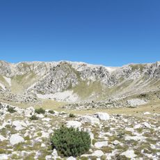
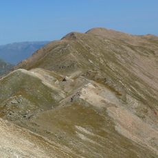
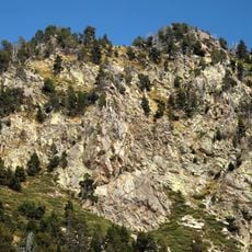
Puig de la Llosa, Mountain summit in Setcases, Spain.
Puig de la Llosa is a 2,504-metre summit in the axial Pyrenees, on the border between Mentet in Conflent and Setcases in Ripollès. It lies northwest of Roca Colom and northeast of Pic de Coma Ermada, west of the Portella de Callau. On its south-facing slope, at about 2,400 metres, lies the Congesta de la Llosa, a major snowfield fed by wind-blown snow.
Puig de la Llosa, at 2,504 m, lies on the axial Pyrenees ridge between the commune of Mantet (Conflent) and the municipality of Setcases (Ripollès), near the south-eastern edge of Mantet's territory. The summit stands north-west of Roca Colom and north-east of Pic de Coma Ermada, west of the Portella de Callau. Its main access route leaves from the Vallter station along the GR 11.6 variant, passing the Portella de Mentet at 2,411 m and then following the ridge.
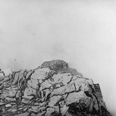
The name Llosa refers to the flat stone slabs of the summit, and the mountain marks the border between the Conflent and Ripollès districts. The snowfield below the top, the congesta de la Llosa, is fed by the torbs, strong winds carrying snow from other slopes, and was once permanent.
The summit is best reached from Vallter station, which serves as the main starting point for the approach. Marked trails lead through alpine terrain where conditions vary significantly with the season and weather.
The southern slope holds a persistent snowfield at about 2,400 meters that endures year-round due to wind patterns pushing snow from nearby slopes. This permanent snow presence is unusual at this elevation and serves as a notable landmark for mountain travelers.
The community of curious travelers
AroundUs brings together thousands of curated places, local tips, and hidden gems, enriched daily by 93,146 contributors worldwide.