Pic de Freser, Mountain peak in Pyrenees, Spain and France
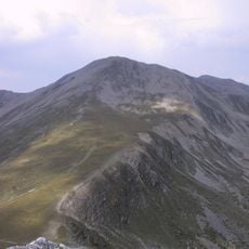
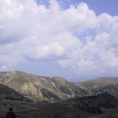
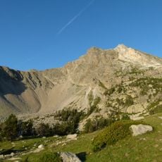
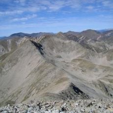
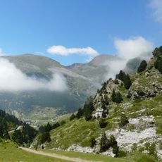
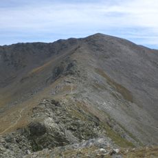
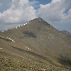
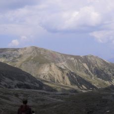
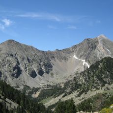
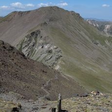
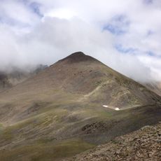
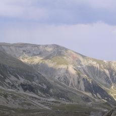
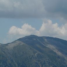
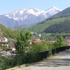
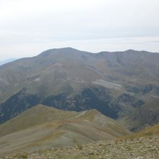
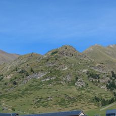
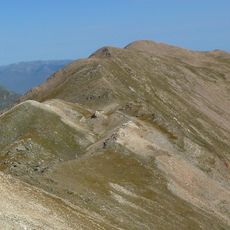
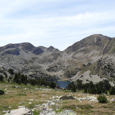
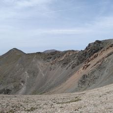
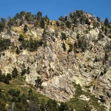
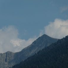
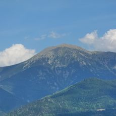
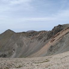
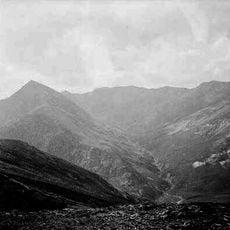
Pic de Freser is a 2,834.9-metre mountain on the axial ridge of the Pyrenees, between the Circ del Freser in Ripollès and the Coma Mitjana valley, a side valley of the Carançà in Conflent. Its upper slopes are bare grey and brown rock cut by pale scree gullies, with dark green vegetation below and a green valley opening to the west.
The mountain formed through tectonic processes during the creation of the Pyrenees millions of years ago. Over time, local herders and traders used passages across this peak to move between Spain and France.
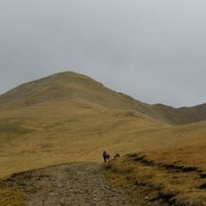
Local shepherds maintain traditional grazing practices on the mountain slopes, preserving agricultural methods that date back through multiple generations.
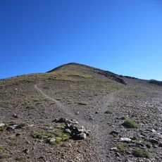
The climb is demanding and requires proper footwear and mountain gear for the rocky slopes. Start early in the day and check weather conditions, as conditions in this high altitude area can change rapidly.
The summit stands on the axial ridge of the Pyrenees, on the border between the Ripollès comarca and the Conflent valley. The Freser cirque lies on the Spanish side, while the Coma Mitjana valley, a side valley of the Carançà in the Fontpedrosa municipality, falls away to the north.
The community of curious travelers
AroundUs brings together thousands of curated places, local tips, and hidden gems, enriched daily by 94,497 contributors worldwide.