Pic de Noucreus, Mountain summit in Eastern Pyrenees, Spain and France
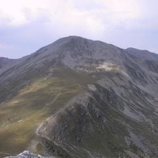
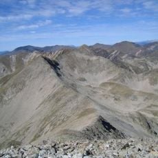
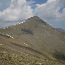
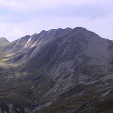
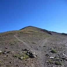
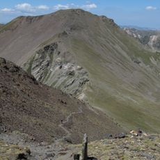
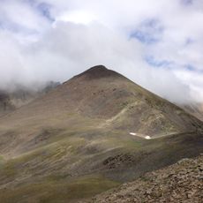
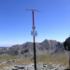
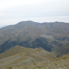
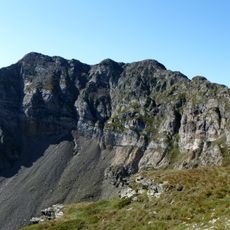
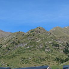
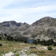
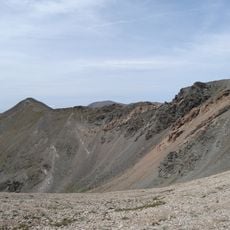
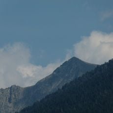
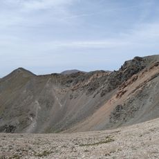
Pic de Noucreus is a 2,799 m summit on the axial ridge of the Pyrenees, on the border between Queralbs (Ripollès) and Fontpédrouse (Conflent). Its broad, rounded top of grey and brown bare rock and loose stone rises above long slopes with sparse grass. A worn pale trail climbs the central ridge, and a band of snow can lie in a gully below the jagged rock band.
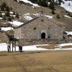
The summit lies on the axial ridge of the Pyrenees, on the border between Queralbs (Ripollès) and Fontpédrouse (Conflent, Northern Catalonia). It stands south-east of the Coll de Nou Fonts and west of the Coll de Noucreus and the Pic de la Fossa del Gegant. One documented route to the top starts from the sanctuary of Núria.
The name Noucreus or Nou Creus refers to the nearby Coll de Noucreus, the pass east of the summit, and the Coll de Nou Fonts to its north-west. The mountain lies on the axial ridge of the Pyrenees, with the Catalan municipality of Queralbs in the Ripollès to the south and the Conflent commune of Fontpedrosa to the north. One route to the top starts at the sanctuary of Núria.
The ascent requires proper mountaineering equipment and climbing experience, especially with the changeable weather at this elevation. The best climbing conditions occur from late spring through early autumn when conditions are most stable.
The summit lies on the axial ridge of the Pyrenees, on the border between Queralbs (Ripollès) and Fontpédrouse (Conflent). It stands south-east of the Coll de Nou Fonts and west of the Coll de Noucreus and the Pic de la Fossa del Gegant. One route to the top starts at the sanctuary of Núria.
The community of curious travelers
AroundUs brings together thousands of curated places, local tips, and hidden gems, enriched daily by 94,246 contributors worldwide.