Enable Location

We need your location to show you interesting places around you

Discover nearby places

Find interesting locations and hidden gems around you

Precise directions

Get accurate directions and distances to places

Your location is never shared with other users. It's only used when you tap the location button.

Pic Moneliet

Log in to your account

Start exploring — it's free

Trusted by 61,914 travelers worldwide

Continue with Google
Continue with Apple
or

We will send you a code to connect

By continuing, you accept our Terms and Conditions and our Privacy Policy

Check your inbox

We've sent a pincode in your inbox. Please enter the code below.

Pic Moneliet

Pic Moneliet, Mountain summit in Fontpédrouse, France.

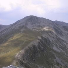
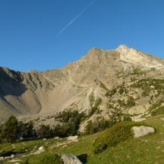
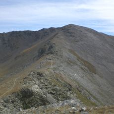
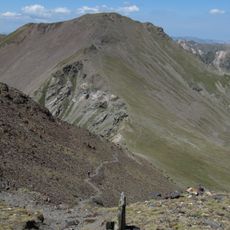
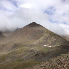
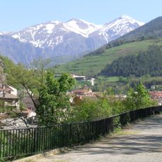
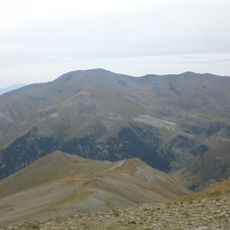
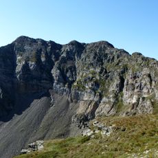
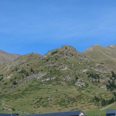
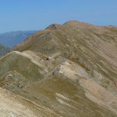
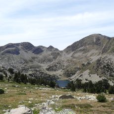
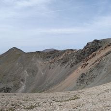
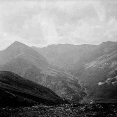
Pic Moneliet is a mountain summit in the Pyrenees standing at 2,727 meters and crossed by several hiking trails. The terrain displays steep rock faces and alpine vegetation typical of this elevation range.

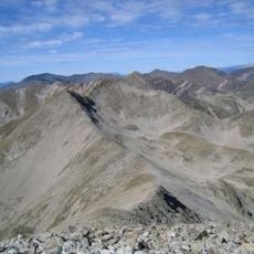
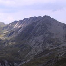
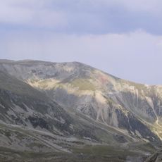
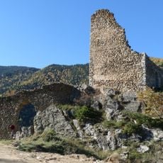
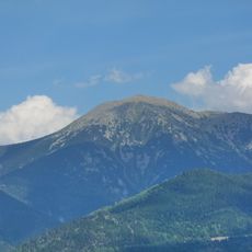
The summit served as a reference point for cartographers mapping the Pyrenean landscape over centuries. Its prominent position made it a key marker in early surveys of this mountain range.

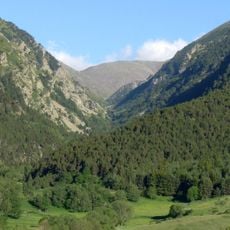
The peak sits in a region where mountaineers have long tested their skills and shaped local hiking traditions. Visitors walking through the area can still see how these mountain practices influence daily life and outdoor activities today.

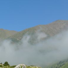
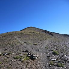
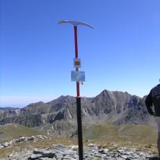
The climb typically starts from the Prats de Balaguer parking area and requires different gear depending on the season. Winter ascents need ice axes and crampons, while summer visits usually require only proper hiking boots and layered clothing.

The peak connects with nearby summits like Pic Redoun, forming a network of high-altitude routes that offer variety for different skill levels. These connections allow visitors to link multiple trails and experience the geological diversity found across this section of the Pyrenees.

The community of curious travelers

AroundUs brings together thousands of curated places, local tips, and hidden gems, enriched daily by 60,000 contributors worldwide.

Start exploring
Location
Elevation above the sea
2,727 m
GPS coordinates
42.44654,2.18730
Latest update
December 15, 2025 13:29
« Pic Moneliet - Mountain summit in Fontpédrouse, France » is provided by Around Us (aroundus.com). Images and texts are derived from Wikimedia project under a Creative Commons license. You are allowed to copy, distribute, and modify copies of this page, under the conditions set by the license, as long as this note is clearly visible.

Discover hidden gems everywhere you go!

From secret cafés to breathtaking viewpoints, skip the crowded tourist spots and find places that match your style. Our app makes it easy with voice search, smart filtering, route optimization, and insider tips from travelers worldwide. Download now for the complete mobile experience.

Around Us App Screenshot

A unique approach to discovering new places

Le Figaro

All the places worth exploring

France Info

A tailor-made excursion in just a few clicks

20 Minutes

Around Us
Travel Guide & Maps
Download

Send to your phone

QR Code
1

Open the camera app on your mobile.

2

Point at the QR code with your camera. A notification will appear.

3

Tap the notification to open the link.