Pic dels Bacivers de Prats, Mountain summit in Fontpédrouse, France
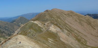
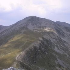
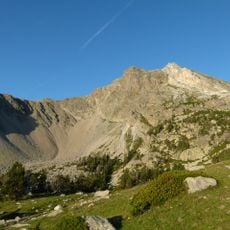
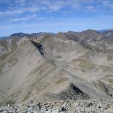
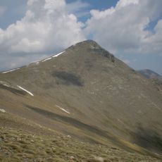
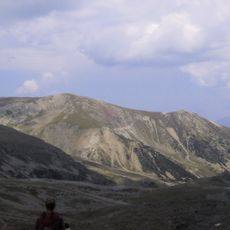
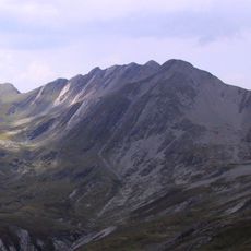
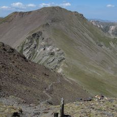
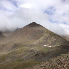
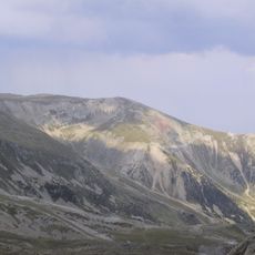
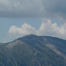
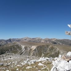
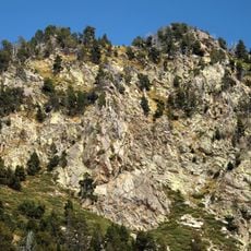
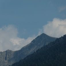
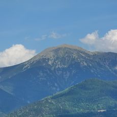
Pic dels Bacivers de Prats is a mountain summit in the Pyrenees, rising to 2,745 meters above sea level. The peak sits near the Franco-Spanish border and separates distinct geographical areas.
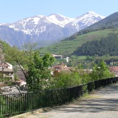
The territory changed administratively in 1822 when Prats-Saint-Thomas merged with Fontpédrouse. This shift reshaped how the mountain area was governed and locally organized.
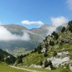
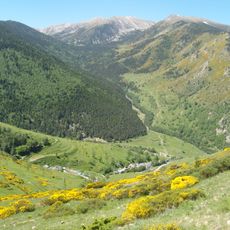
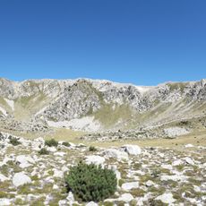
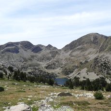
Shepherds have traditionally used the slopes for summer grazing, with flocks moving to alpine meadows during warmer months. This pastoral practice remains visible in how the landscape is shaped and maintained.
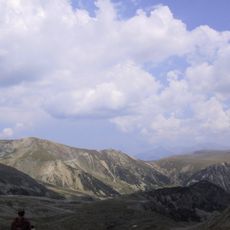
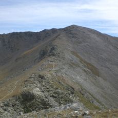
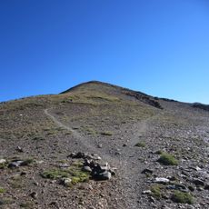
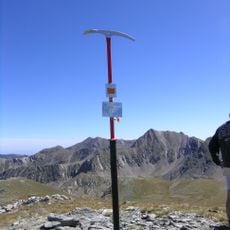
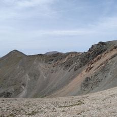
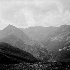
Hikers can reach the summit via marked trails beginning near Mantet, with routes covering around 17 kilometers. The terrain requires significant effort due to steep elevation gain of about 1,350 meters.
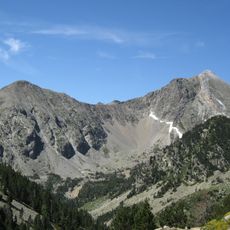
From the peak, visitors can see four distinct geographical regions: Conflent, Cerdagne, Capcir, and Spanish Ripollès across the border. This viewpoint connects landscapes of multiple cultural zones in a single view.
The community of curious travelers
AroundUs brings together thousands of curated places, local tips, and hidden gems, enriched daily by 60,000 contributors worldwide.