Pic de Noufonts, Mountain summit in Pyrenees, Spain and France
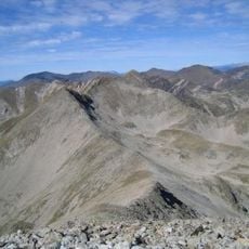
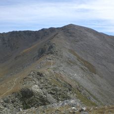
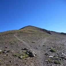
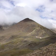
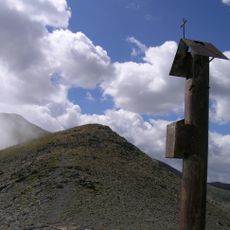
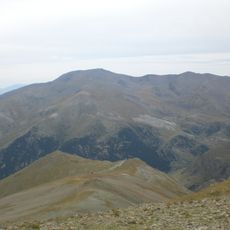
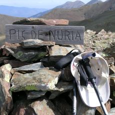
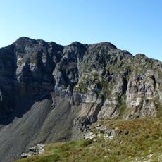
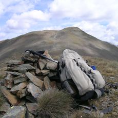
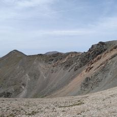
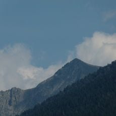
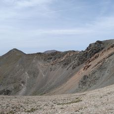
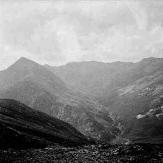
Pic de Noufonts is a rounded summit of bare brownish-grey rock and scree on the French-Spanish border, reaching 2,861 m according to German sources (2,851 m in English ones). Below the crest on the left, a cliff of pale grey layered sandstone and lutite is cut by gullies and ribs, while the right flank falls away in a smoother greenish-grey slope. A zigzag trail crosses the dark scree at the base, where a weathered wooden post stands; a small cairn of flat pale stones sits beside an upright slab.
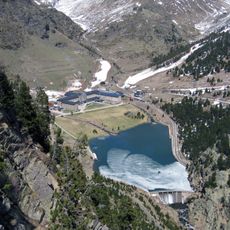
The summit lies on the Franco-Spanish border, which was fixed in the 1659 Treaty of the Pyrenees and later confirmed by the 1868 Bayonne demarcation, when boundary markers were set along the crest. The mountain rises above the Vall de Núria, whose sanctuary at 1,967 m has long been reached by a rack railway from Ribes de Freser. Its 2,861 m crest is the highest point of the Coma d'Eina route.
The summit is the high point of a route linking the Vall de Núria sanctuary at 1,967 m with the Coll de Noufonts, passing the Pic d'Eina at 2,789 m; the round trip takes about five walking hours. In winter the same line is followed on touring skis or snowshoes.
The summit is accessible from both the Spanish and French sides, with multiple hiking routes starting from the surrounding valleys. Spring and summer are the best seasons for the climb, when the trails are most passable and daylight is longer.
The sources give two different elevations: English Wikipedia states 2,851 metres, while German Wikipedia gives 2,861 metres above sea level. The summit sits on the French-Spanish border between Queralbs and Fontpédrouse, and a route from the Vall de Núria sanctuary passes over Pic d'Eina (2,789 m) before reaching it.
The community of curious travelers
AroundUs brings together thousands of curated places, local tips, and hidden gems, enriched daily by 93,402 contributors worldwide.