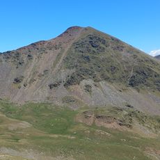
Pic de Segalera, Mountain summit in Eastern Pyrenees, France.
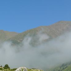
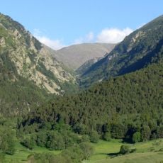
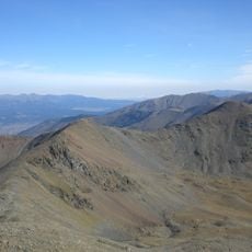
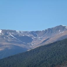
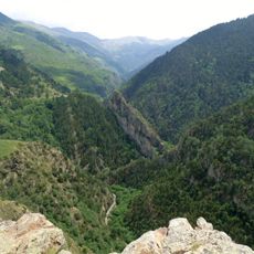
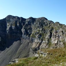
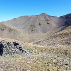
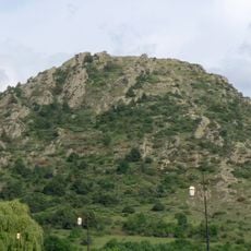
Pic de Segalera rises to 2179 meters and is located among the peaks of the Cerdagne region in the Pyrenees Orientales. The landscape features gorges, steep slopes, and views toward other nearby mountains.
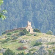
The trails around the mountain follow ancient routes documented in mountaineering records from the 1800s. These paths played a role in early explorations of the Eastern Pyrenees region.
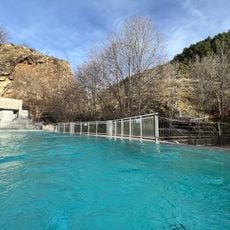
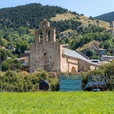
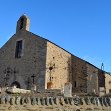
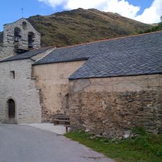
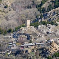
The peak serves as a landmark for people living in nearby Llo, where mountain life and seasonal activities remain closely tied to these high elevations. The local community has a long connection to these ridges and valleys.
Start your hike from the parking area near Llo village and follow marked trails through the gorges, passing the Refuge de la Culassa at 1835 meters on the way up. The ascent is moderate in difficulty and takes several hours of steady walking.
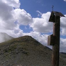
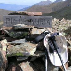
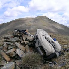
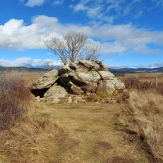
The summit is marked with red triangular markers and a cairn-marked final path that guides hikers safely to the top. From there, experienced walkers can extend their journey to the nearby Roc de Carbanet for additional views.
The community of curious travelers
AroundUs brings together thousands of curated places, local tips, and hidden gems, enriched daily by 60,000 contributors worldwide.