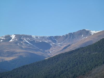
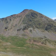
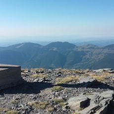
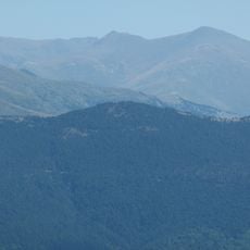
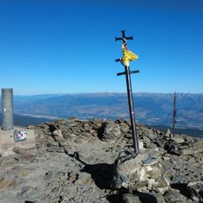
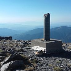
Tossa del Pas dels Lladres, Mountain summit in Eastern Pyrenees, Spain and France.
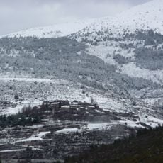
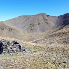
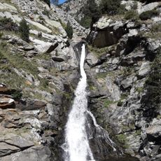
Tossa del Pas dels Lladres is a mountain summit located on the border between Spain and France in the eastern Pyrenees. The peak rises above the surrounding valleys and displays varied geological compositions including crystalline schist, gneiss, and marble throughout its slopes.
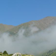
This mountain has served as a natural boundary between France and Spain since medieval times, functioning as a key geographical marker for border definition. The strategic location of the pass has influenced how people and animals have moved between the two territories for centuries.
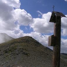
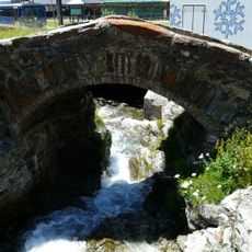
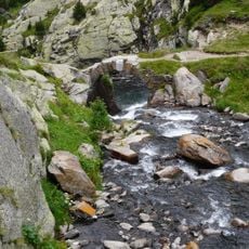
The name 'Tossa del Pas dels Lladres' refers to a traditional mountain pass where herders from both sides of the border have moved their animals for generations. You can still see traces of this pastoral life in the seasonal use of the high pastures, which connect the Spanish and French valleys.
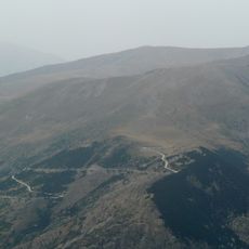
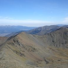
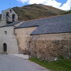
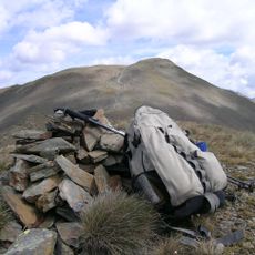
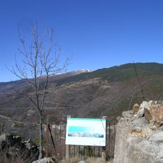
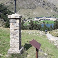
The summit can be reached via established hiking routes from three different locations: Err and Valcebollère on the French side, and Queralbs on the Spanish side. Be aware that weather conditions and terrain difficulty can vary significantly with the season, so proper preparation is important.
The pass name refers to a shadowy chapter involving bandits and brigandage in the mountain passes, which historical sources mention as a long-standing concern in this region. This criminal history is now preserved only in the place name itself, serving as a reminder of the dangers early travelers once faced.
The community of curious travelers
AroundUs brings together thousands of curated places, local tips, and hidden gems, enriched daily by 60,000 contributors worldwide.