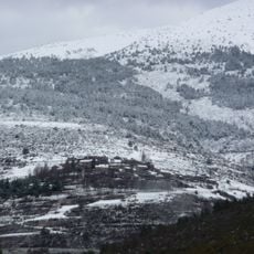
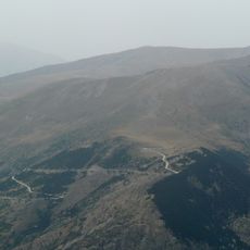
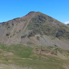
Puig de Dòrria, Mountain summit in Eastern Pyrenees, Spain.
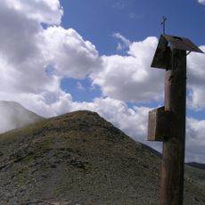
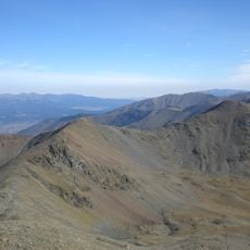
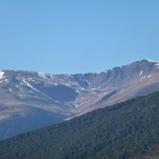
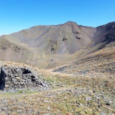
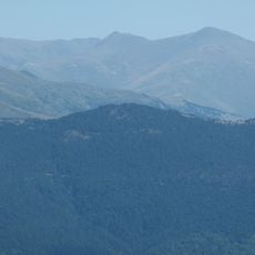
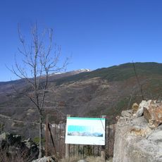
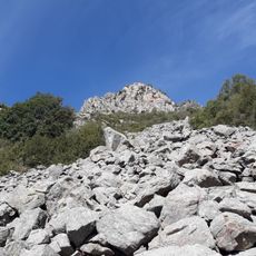
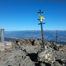
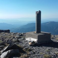
Puig de Dòrria is a mountain summit in the Eastern Pyrenees reaching 2,547 meters with alpine landscapes and diverse plant life across its slopes. Marked paths connect neighboring valleys, and the peak features a geodesic marker at its highest point.
The mountain served as a natural boundary between the regions of Ripollès and Cerdanya since medieval times. This geographic role made it an important territorial marker throughout the area's history.
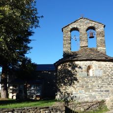
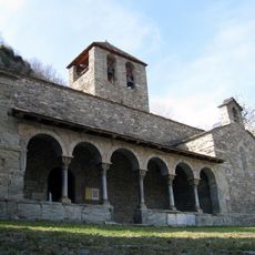
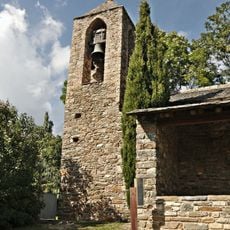
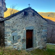
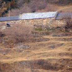
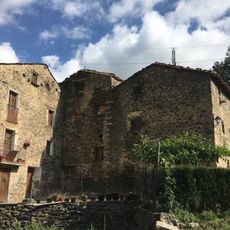
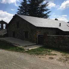
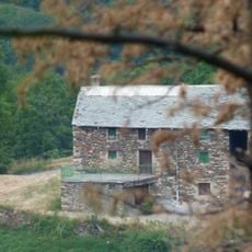
Traditional stone huts built by local shepherds dot the slopes, still maintained today as shelters for people crossing between valleys. These simple structures show how communities have adapted to mountain life across generations.
The trail starts from Planoles village and follows a marked path through black pine forests to the summit. Bring weather-appropriate gear and sturdy footwear, as conditions can change quickly at higher elevations.
The summit carries a geodesic vertex marker, reference 287079001, and the peak is listed among the 100 cims de la FEEC, a Catalan hiking challenge. The mountain lies where the municipalities of Planoles and Toses in Ripollès meet Vallcebollera in Alta Cerdanya, straddling the Spanish-French border.
The community of curious travelers
AroundUs brings together thousands of curated places, local tips, and hidden gems, enriched daily by 94,840 contributors worldwide.