Pic de la Soucarrane, Mountain summit in Ariège department, France
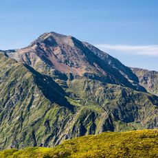
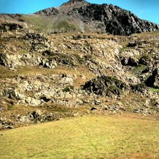
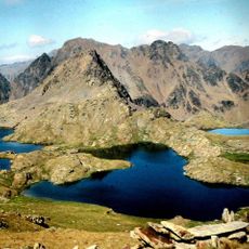
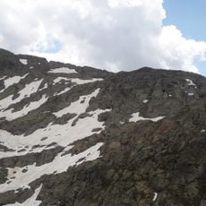
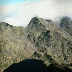
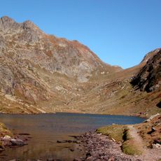
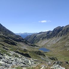
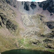
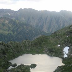
Pic de la Soucarrane rises to 2552 meters in the Pyrenees and forms a sharp peak with steep slopes descending on all sides. The surrounding terrain shows marked trails at various elevations connecting different sections of the mountain.
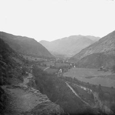
The summit became a natural border marker between France and neighboring territories following the establishment of the Pyrenean boundary in 1659. This historic boundary definition continues to shape the region's political geography.
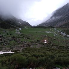
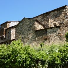
Shepherds use traditional stone shelters called orris to house their flocks during grazing seasons in the surrounding areas. These simple structures show how people have adapted to life in high mountain terrain for generations.
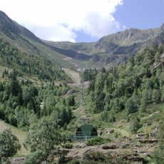
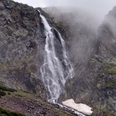
The ascent from the Orris du Carla parking area is a full-day hike that requires solid fitness and mountain experience. Conditions can change quickly at this elevation, so hikers should check weather forecasts and bring proper gear.
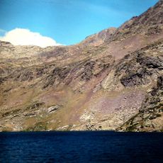
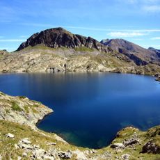
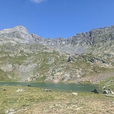
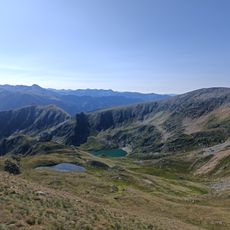
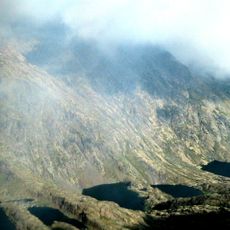
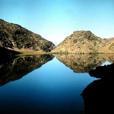
Small glacial lakes sit at different elevations across the mountain, forming an interconnected water network that feeds the valleys below. These hidden lakes are rarely noticed from a distance, yet they play a key role in supplying water to local communities.
The community of curious travelers
AroundUs brings together thousands of curated places, local tips, and hidden gems, enriched daily by 60,000 contributors worldwide.