Sveta Gera, Mountain summit in Karlovac County, Croatia.
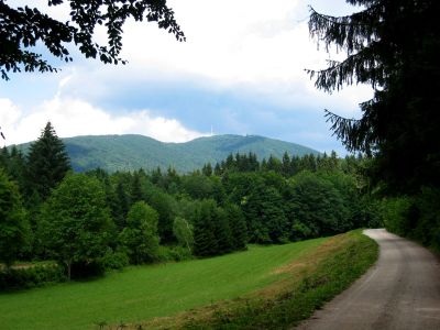
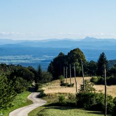
Sveta Gera is a mountain summit near the Croatian-Slovenian border rising to 1,178 meters with a broad clearing stretching some 350 meters along the frontier. The highest point is marked by a geodetic pyramid.
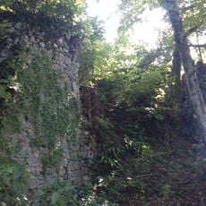
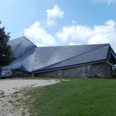
The area housed Yugoslav People's Army military facilities until 1991, when Slovenian forces took control of the barracks near the summit during the independence war. The installation played a significant role in the armed conflicts of that period.
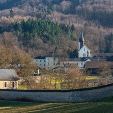
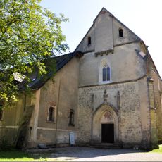
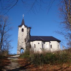
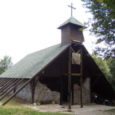
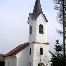
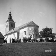
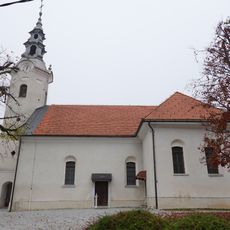
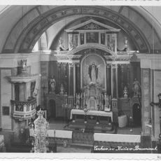
The name comes from a 15th-century Church of Saint Jera situated near the summit, while Slovenians call it Trdinov vrh in honor of writer Janez Trdina. These different names reflect the shared history of this border region between the two countries.
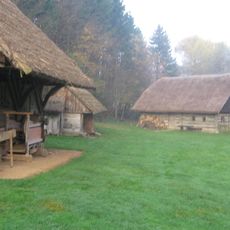
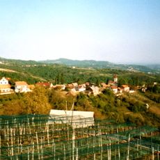
Multiple hiking trails lead to the summit from Sošice village, with routes varying from two to six hours depending on the chosen path. Visitors should bring weather-appropriate clothing and be mindful of the border location when exploring the area.
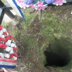
At the peak sits a geodetic pyramid where visitors can find a hiking stamp embedded in its base. This blend of surveying marker and stamp station makes the spot a destination for hikers who collect stamps along their journeys.
The community of curious travelers
AroundUs brings together thousands of curated places, local tips, and hidden gems, enriched daily by 60,000 contributors worldwide.