
Ballymote, village in Sligo, Ireland
Location: County Sligo
Elevation above the sea: 76 m
GPS coordinates: 54.08960,-8.51670
Latest update: March 29, 2025 00:13
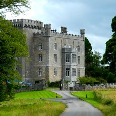
Markree Castle
10.1 km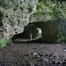
Caves of Kesh
5.6 km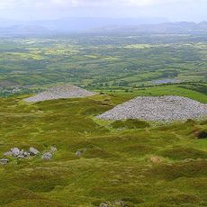
Carrowkeel Megalithic Cemetery
9.9 km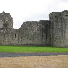
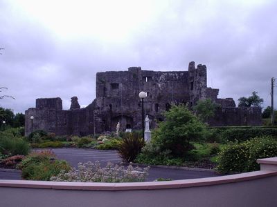
Ballymote Castle
366 m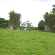
Temple House
4.9 km
Knocknashee
11.1 km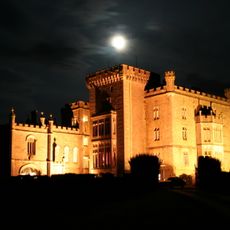
Markree Observatory
10.1 km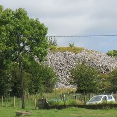
Heapstown Cairn
11 km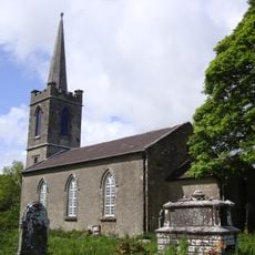
St. Crumnathy's Cathedral, Achonry
9.8 km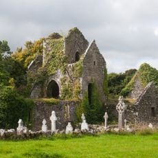
Ballindoon Friary
12.7 km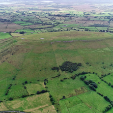
Knocknashee Hillfort
10.4 km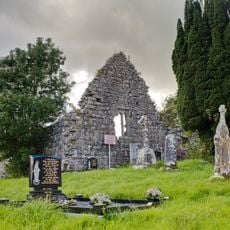
Cloonameehan Friary
5.8 km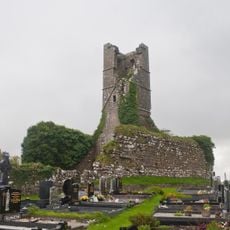
Court Friary
10.2 km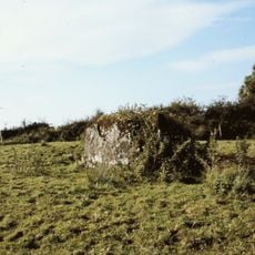
Portal Tomb von Knockatober
13.3 km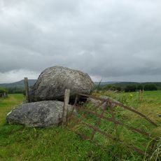
Achonry
8.7 km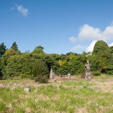
Ballymote Friary
149 m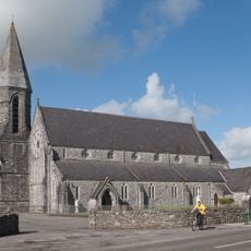
Church of the Immaculate Conception, Ballymote
180 m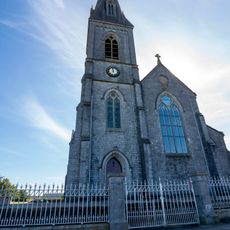
Church of the Assumption
10.8 km
Emlaghfad Parish Church, Ballymote
120 m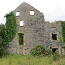
Ballymote corn mill
588 m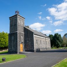
Holy Trinity Church of Ireland
13.6 km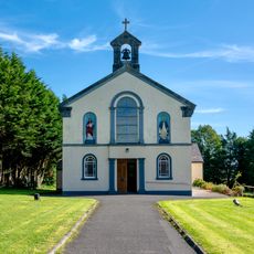
Church of St Fechin and St Lassara
5.7 km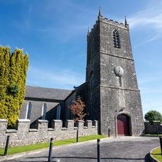
Collooney Church of Ireland Church
10.5 km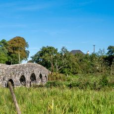
Lisconny Bridge
8 km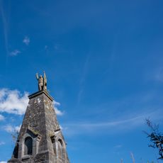
Teeling Monument
11.4 km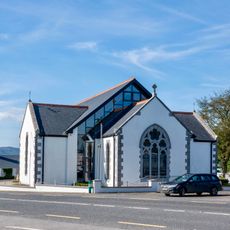
Corhawnagh Church
13.3 km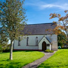
Collooney Methodist Church
10.6 km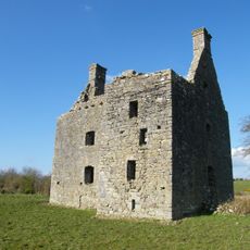
Castlebaldwin Castle
9.7 kmVisited this place? Tap the stars to rate it and share your experience / photos with the community! Try now! You can cancel it anytime.
Discover hidden gems everywhere you go!
From secret cafés to breathtaking viewpoints, skip the crowded tourist spots and find places that match your style. Our app makes it easy with voice search, smart filtering, route optimization, and insider tips from travelers worldwide. Download now for the complete mobile experience.

A unique approach to discovering new places❞
— Le Figaro
All the places worth exploring❞
— France Info
A tailor-made excursion in just a few clicks❞
— 20 Minutes