
Moate, town in County Westmeath, Ireland
Location: County Westmeath
Elevation above the sea: 72 m
GPS coordinates: 53.39360,-7.69850
Latest update: April 11, 2025 13:36


Moydrum Castle
11.6 km
Durrow Abbey
14.1 km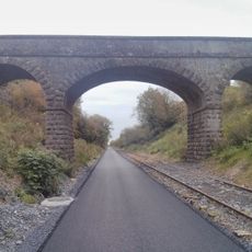
Athlone to Mullingar Cycleway
9.8 km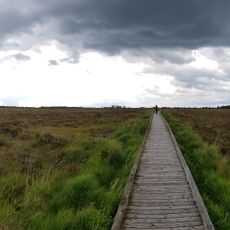
Clara Bog
9.1 km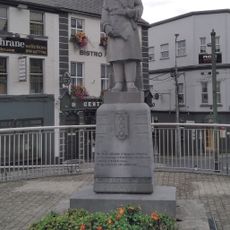
IRA Memorial
16.4 km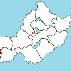
Brawny
13.9 km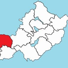
Kilkenny West
14.2 km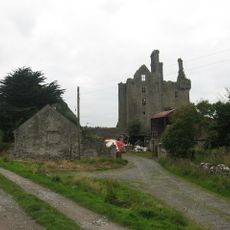
Ballycowan Castle
16 km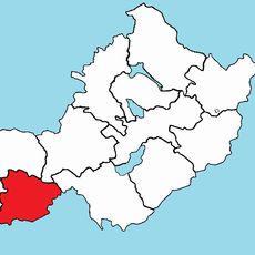
Clonlonan
5.3 km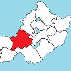
Rathconrath
14.6 km
Offaly Way
11.6 km
St Mary's Church
16.2 km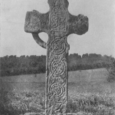
Bealin High Cross
10.8 km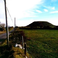
Dunnamona
13.1 km
Ballinderry Crannog No. 1
2 km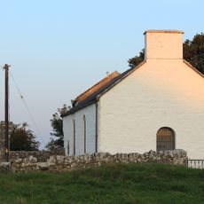
St Carthach's Church
14 km
St Mary's Church
15.9 km
Our Lady Queen of Peace
16.4 km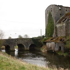
Coola Bridge
13.7 km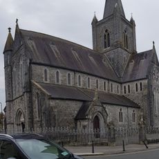
St Brigid's Church
7.9 km
St Anthony's Church
16.2 km
SS Peter and Paul's Church
1.7 km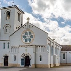
Corpus Christi Church
6.5 km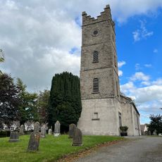
St Brigid's Church of Ireland Church
7.8 km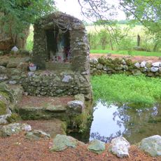
St Brigids Well-Killare
12.7 km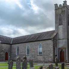
St Mary's Church
1.9 km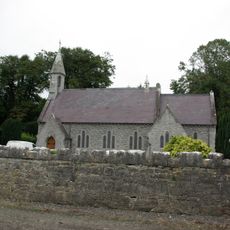
St Columba's Church
15.3 km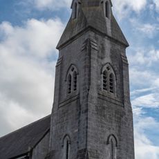
Church of the Immaculate Conception
1.1 kmReviews
Visited this place? Tap the stars to rate it and share your experience / photos with the community! Try now! You can cancel it anytime.
Discover hidden gems everywhere you go!
From secret cafés to breathtaking viewpoints, skip the crowded tourist spots and find places that match your style. Our app makes it easy with voice search, smart filtering, route optimization, and insider tips from travelers worldwide. Download now for the complete mobile experience.

A unique approach to discovering new places❞
— Le Figaro
All the places worth exploring❞
— France Info
A tailor-made excursion in just a few clicks❞
— 20 Minutes