Athlone to Mullingar Cycleway, Rail trail between Athlone and Mullingar, Ireland
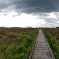
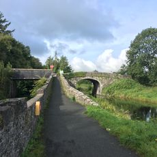
The Athlone to Mullingar Cycleway is a rail trail in County Westmeath, Ireland, running on a former railway line between the towns of Athlone and Mullingar. The route is fully tarmacked, passes through flat farmland, and is divided into three connected sections.
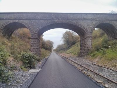
The railway line opened in 1851 as part of the Midland Great Western Railway and carried passengers and freight for well over a century. It closed in 1987, and the old trackbed was later converted into the cycling route that exists today.
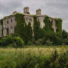
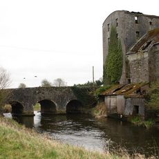
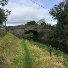
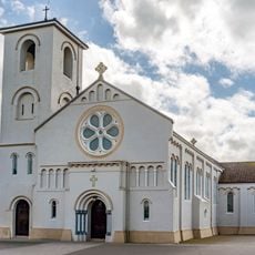
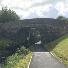
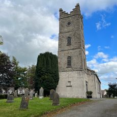
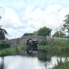
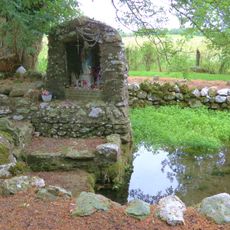
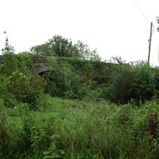
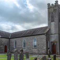
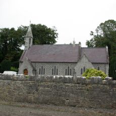
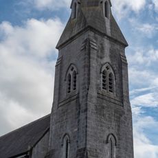
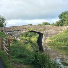
The path passes restored station buildings and old stone bridges that mark where the railway once stood. Visitors on bikes can see how these structures shaped the countryside and connected small communities across the midlands.
The flat surface suits road bikes and everyday bicycles, so no specialist gear is needed. Several stopping points along the way make it easy to break the ride into smaller sections at your own pace.
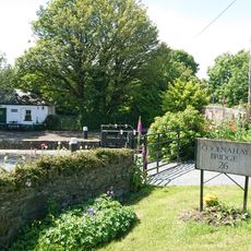
At Newbrook, the path meets the Royal Canal Greenway, giving cyclists the option to continue onto another old transport route through the midlands. This connection makes it possible to link two former infrastructure lines into a single longer outing.
The community of curious travelers
AroundUs brings together thousands of curated places, local tips, and hidden gems, enriched daily by 60,000 contributors worldwide.