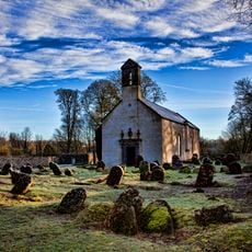
Rahugh, Historical parish in Westmeath, Ireland
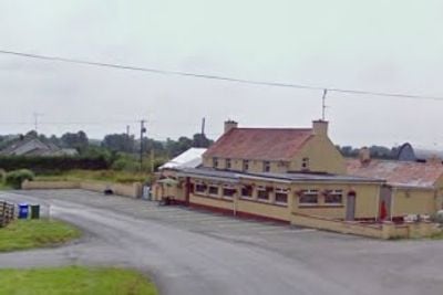
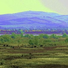
Rahugh is a civil parish in County Westmeath comprising twelve townlands spread across approximately 4,987 acres of mixed terrain including light soil and bogland. The area contains three schools, a Catholic chapel at Little Ross, a Baptist meeting house, and a local pub and lounge.
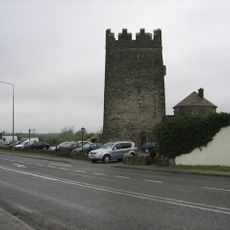
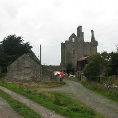
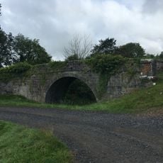
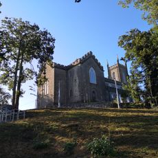
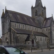
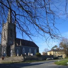
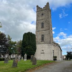
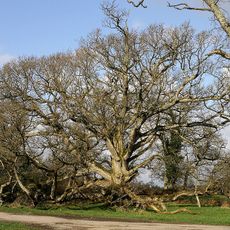
Saint Aid founded a monastery in Rahugh during the sixth century, leaving behind two significant earthen fortifications known as raths as architectural remains. These ancient structures demonstrate the area's importance in the region's early Christian history.
The community here is tied together through local Gaelic Athletic Association activities, which remain central to how people spend their leisure time. This sports culture reflects how the parish maintains its sense of identity and connection today.
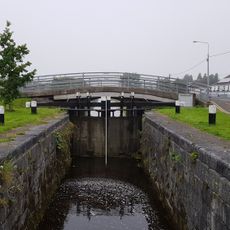
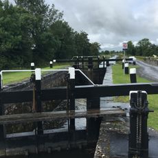
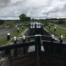
The parish is spread across scattered townlands, so it helps to plan routes in advance if you want to visit the historical sites. The area is typically accessible by car, though visitors should expect rural roads and open countryside.
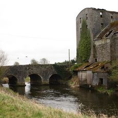
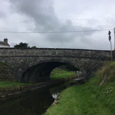
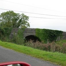
One ancient rath within the parish once served as a burial site for a regional prince, revealing the area's importance in pre-Christian times. Additional fortified structures at Ballybroider and Little Ross show that the region held strategic value across many centuries.
The community of curious travelers
AroundUs brings together thousands of curated places, local tips, and hidden gems, enriched daily by 60,000 contributors worldwide.