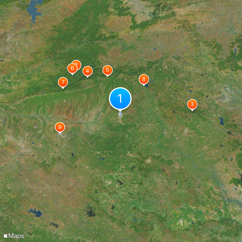
Amravati, Administrative headquarters in Maharashtra, India
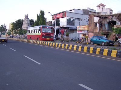
Amravati is a city in Amravati district within the Vidarbha region of Maharashtra, India. Two lakes called Chhatri Talao and Wadali Talao lie to the east of the urban area, which covers around 121 square kilometers.
The British East India Company took control of this area in 1853 as part of Berar Province through a treaty with the Nizam of Hyderabad. This shift changed the administration and brought the city into the colonial trade network.
The name of this city comes from the Ambadevi temple, a shrine that draws worshippers from across the region every day. This temple shapes religious life here and recalls the old name Udumbravati, which changed over the centuries.
Dr. Panjabrao Deshmukh Airport lies around 15 kilometers from National Highway 6 and currently serves only non-commercial aviation. Visitors should prepare for extreme temperature swings, which can reach above 49 degrees Celsius (120 degrees Fahrenheit) in summer and drop below 6 degrees Celsius (43 degrees Fahrenheit) in winter.
This city experiences temperature extremes that rank among the highest in Maharashtra, with peaks of 49.1 degrees Celsius (120.4 degrees Fahrenheit) and lows of 5.0 degrees Celsius (41 degrees Fahrenheit). These swings shape daily life and influence architecture and the rhythm of residents' days.
The community of curious travelers
AroundUs brings together thousands of curated places, local tips, and hidden gems, enriched daily by 60,000 contributors worldwide.