Enable Location

We need your location to show you interesting places around you

Discover nearby places

Find interesting locations and hidden gems around you

Precise directions

Get accurate directions and distances to places

Your location is never shared with other users. It's only used when you tap the location button.

Amravati district

Log in to your account

Start exploring — it's free

Trusted by 61,657 travelers worldwide

Continue with Google
Continue with Apple
or

We will send you a code to connect

By continuing, you accept our Terms and Conditions and our Privacy Policy

Check your inbox

We've sent a pincode in your inbox. Please enter the code below.

Amravati district

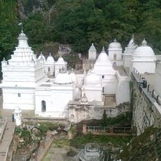
Amravati district, Administrative district in Maharashtra, India

Description

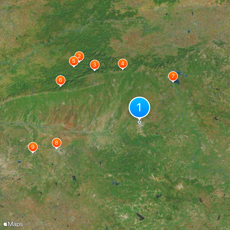
Amravati is an administrative district in central Maharashtra positioned between the Wardha River and Tapti River with varied geographical features. The district divides into six administrative subdivisions and fourteen talukas, with Amravati city serving as the main administrative seat.

History

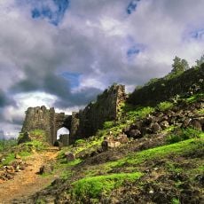
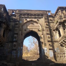
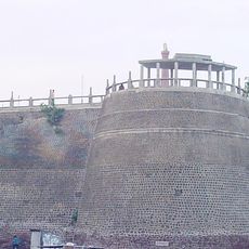
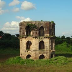
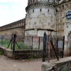
The territory came under British East India Company control in 1853 through a treaty with the Nizam of Hyderabad as Berar Province. This colonial period shaped the administrative framework and infrastructure that remain partly visible today.

Culture

Marathi serves as the main language of daily life, while Urdu and Korku are spoken by smaller communities. This linguistic diversity shapes local traditions and how people interact across the district.

Practical

The district is best explored by road, connecting major towns and smaller settlements through the region. Visitors should use local guides or tourism offices to access remote areas and wildlife reserves effectively.

Did you know?

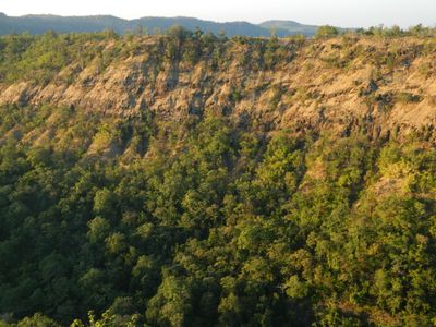
The Melghat Tiger Reserve within the district protects Bengal tigers and hosts a notable population of these rare big cats. The area offers walkers and nature enthusiasts chances to explore its forested mountain terrain.

Capital city
Amravati
Shares border with
Burhanpur district, Akola district
GPS coordinates
20.93000,77.75000
Latest update
December 14, 2025 19:55

AroundUs brings together thousands of curated places, local tips, and hidden gems, enriched daily by 60,000 contributors worldwide. Discover all places nearby (Amravati division).

« Amravati district - Administrative district in Maharashtra, India » is provided by Around Us (aroundus.com). Images and texts are derived from Wikimedia project under a Creative Commons license. You are allowed to copy, distribute, and modify copies of this page, under the conditions set by the license, as long as this note is clearly visible.

Discover hidden gems everywhere you go!

From secret cafés to breathtaking viewpoints, skip the crowded tourist spots and find places that match your style. Our app makes it easy with voice search, smart filtering, route optimization, and insider tips from travelers worldwide. Download now for the complete mobile experience.

Around Us App Screenshot

A unique approach to discovering new places

Le Figaro

All the places worth exploring

France Info

A tailor-made excursion in just a few clicks

20 Minutes

Around Us
Travel Guide & Maps
Download

Send to your phone

QR Code
1

Open the camera app on your mobile.

2

Point at the QR code with your camera. A notification will appear.

3

Tap the notification to open the link.