Habra, human settlement in India
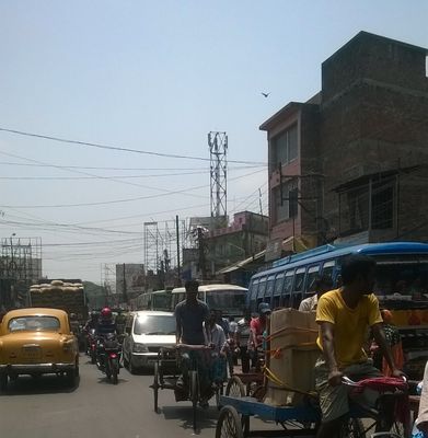
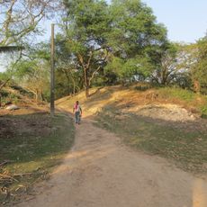
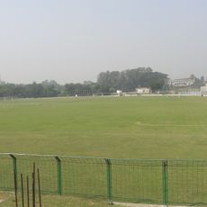
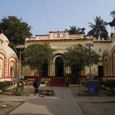
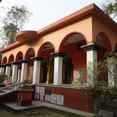
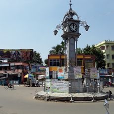
Habra is a city in the Barasat Sadar subdivision of West Bengal that serves as a local administrative and commercial hub. The city has mixed residential and business areas that blend into the surrounding rural landscape, creating a transition zone between farming regions and urban centers.
The city developed as an administrative center in West Bengal and grew with the regional governance system supporting local trade. Over time it became an important hub connecting rural and urban areas in the region.
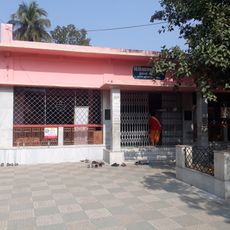
The city is accessible by local buses and taxis, with shops and market areas scattered throughout the streets. Most daily activities happen during daylight hours, so plan visits accordingly and prepare for the local climate.
The community of curious travelers
AroundUs brings together thousands of curated places, local tips, and hidden gems, enriched daily by 60,000 contributors worldwide.