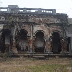
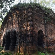
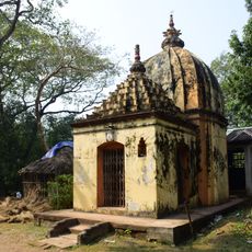
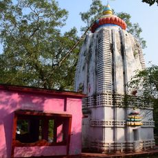
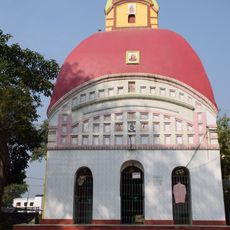
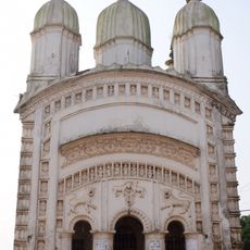
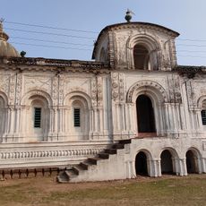
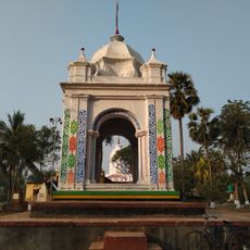
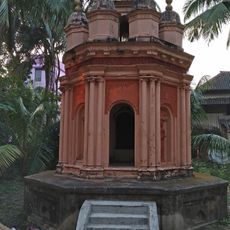
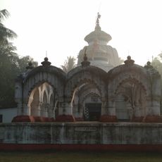
Egra II community development block, Community development block in Purba Medinipur, India.
Egra II is an administrative block situated in the Egra subdivision and covers flat plains across a rural region. The block encompasses over 115 villages spread across its territory, with agriculture as the primary livelihood for most residents.
The block was established in 1977 and underwent major land reforms that redistributed agricultural property among farming communities. These changes transformed ownership patterns and reshaped the region's economic structure.
Bengali is the main language spoken throughout the villages, and farming traditions shape how people live and work together daily. These customs connect the different settlements and form the backbone of community life.
The region is served by regular bus routes that connect the villages across the block. Road transport is the main way to move between settlements, as the nearest railway station is located some distance away.
Every village in the block has access to electricity, which is noteworthy for a rural region of this size. Most residents also have direct access to clean drinking water, indicating that basic infrastructure has reached even remote settlements.
Location: Egra subdivision
Elevation above the sea: 5 m
Shares border with: Egra I community development block, Patashpur II community development block, Bhagabanpur II community development block, Contai III community development block, Contai I community development block, Ramnagar II community development block
GPS coordinates: 21.86166,87.64000
Latest update: December 12, 2025 17:47
Digha Gate
27.8 km
Dariapur Lighthouse
24.3 km
Ramchandra temple
20.4 km
Jagannath temple
14.7 km
Hatnagar Shiva Deul
11.4 km
Shyamsundar Pancharatna temple
28.6 km
Ramchandrajiu temple
7 km
Radhaballava temple
25.4 km
Panchet Rajbari
13.3 km
Siddheshwar Shiva temple
20.5 km
Shyamsundar Deul temple
28.6 km
Madanmohan temple
19.7 km
Radha Gobinda temple
18.6 km
Radha Gokulananda temple
18.1 km
Radhabinod temple
19.7 km
Shyamsundar temple
28.4 km
Radhagobindajiu temple
21 km
Kedar Pabkeswhar Shiva Temple
29 km
Brindavanjiu temple
24.6 km
Raghunath temple
17.7 km
Gouranga temple
19.6 km
Shitala temple
24.8 km
Dakshina Kali temple
29.2 km
Shitala temple
13.4 km
Pancheshwar Shiva temple
13.2 km
Rasmancha of Radha Gokulananda temple
18.1 km
Rasmancha of Raghunath temple
17.7 km
Rasmancha of Hatnagar Shiva temple
11.4 kmVisited this place? Tap the stars to rate it and share your experience / photos with the community! Try now! You can cancel it anytime.
Discover hidden gems everywhere you go!
From secret cafés to breathtaking viewpoints, skip the crowded tourist spots and find places that match your style. Our app makes it easy with voice search, smart filtering, route optimization, and insider tips from travelers worldwide. Download now for the complete mobile experience.
A unique approach to discovering new places❞
— Le Figaro
All the places worth exploring❞
— France Info
A tailor-made excursion in just a few clicks❞
— 20 Minutes