Jamalpur community development block, Administrative block in Bardhaman Sadar South subdivision, India
Jamalpur community development block is a rural administrative unit in Bardhaman Sadar South subdivision, Purba Bardhaman district, West Bengal, India. It covers a group of villages linked by local roads and managed from a central administrative office that handles rural governance for the area.
The area was historically known as Salimabad and was recorded in Peterson's District Gazetteer of 1910 as a police station within Bardhaman subdivision. Over the following decades, it gradually took shape as a rural administrative block under the governance reforms that followed Indian independence.
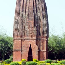
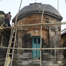
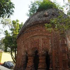
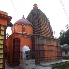
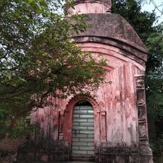
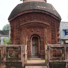
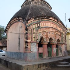
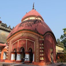
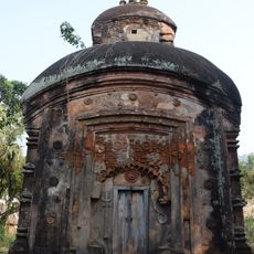
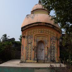
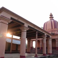
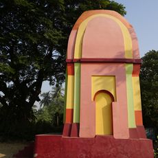
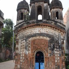
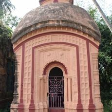
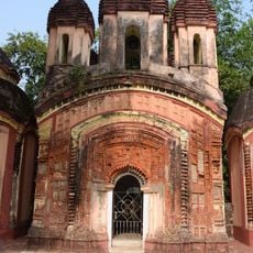
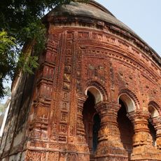
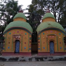
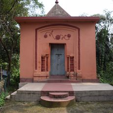
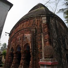
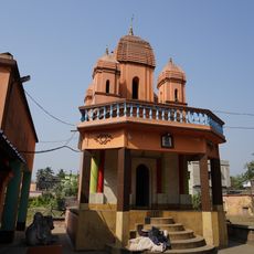
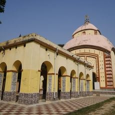
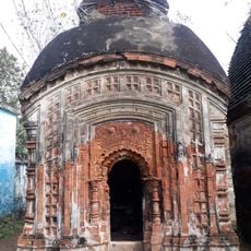
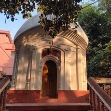
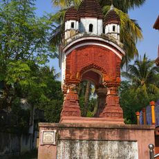
Bengali language and Hindu traditions shape daily life across most villages in the block, with local festivals marking the rhythm of the year. A Muslim minority has long been part of the community, and their presence is visible in the mosques and small shrines scattered through the area.
The block is reached by paved roads, with local buses and shared vehicles connecting most villages in the area. Basic services such as electricity and water are available across the settlements, though travelers should expect a rural setting with limited amenities.
The old name Salimabad points to a Persian-influenced naming tradition, suggesting the area had a notable Muslim administrative presence at some point in its past. The current name Jamalpur also carries Arabic and Persian roots, which shows how this layer of history still echoes in the place names of the region today.
The community of curious travelers
AroundUs brings together thousands of curated places, local tips, and hidden gems, enriched daily by 60,000 contributors worldwide.