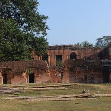
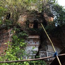
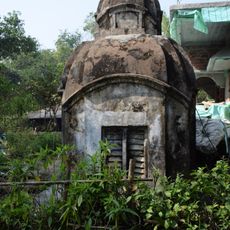
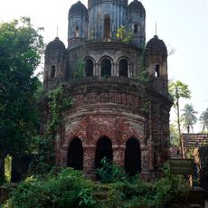
Kakdwip community development block, Administrative block in West Bengal, India.
Kakdwip community development block is an administrative area in West Bengal containing about 39 inhabited villages with electrical and water supply systems in place. Many of these settlements are located in low-lying terrain near the Hooghly River and are characterized by waterways and agricultural land.
This territory played an important role in the Tebhaga movement of 1946, when farmers organized to demand better conditions and greater fairness in agriculture. This uprising was a significant moment in the struggle of rural people for their rights.
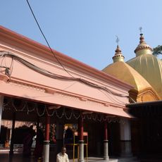
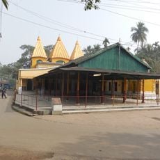
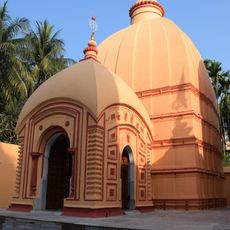
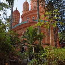
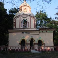
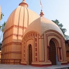
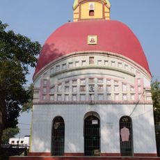
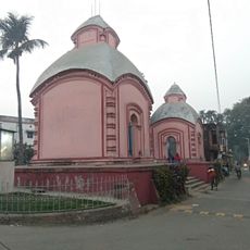
The area reflects the life of rural communities where Hindu and Muslim populations coexist and practice their traditions in daily life. Religious customs are visible throughout the settlements and shape how people interact with one another.
The area is best explored on foot or by local transport through village paths and field roads, as settlements are spread across flat terrain. Visitors should be prepared for basic conditions and rely on local guidance for orientation.
Fish farming is a central economic activity that employs many people in the surrounding villages. The lakes and waterways of the Hooghly region are particularly suited to this work and shape the character of local agriculture.
The community of curious travelers
AroundUs brings together thousands of curated places, local tips, and hidden gems, enriched daily by 60,000 contributors worldwide.