Ranaghat subdivision, Sub division of Nadia district, West Bengal
Location: Nadia district
Capital city: Ranaghat
GPS coordinates: 23.18000,88.58000
Latest update: March 6, 2025 14:06
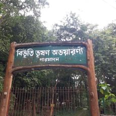
Bibhutibhushan Wildlife Sanctuary
18.6 km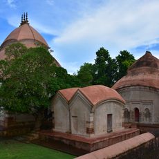
Brindaban Chandra's Math
14.4 km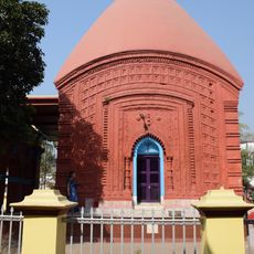
Jaleswar temple, Santipur
16.4 km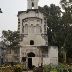
Durga temple of Dwadash mandir complex
6.9 km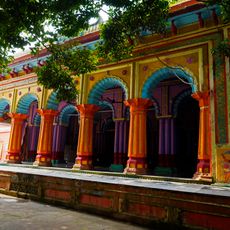
Jugol Kishore temple
7.3 km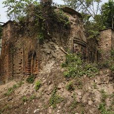
Vishnu temple of Mitra Mustafi family
6.6 km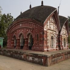
Radha Krishna temple of Mitra Mustafi family
6.5 km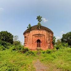
Palpara temple
15 km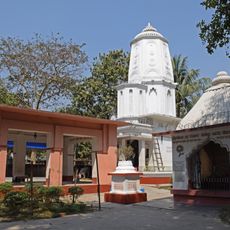
Haridas Thakur temple
11.2 km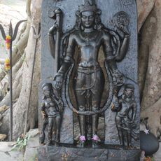
Black stone Vishnu sculpture
4.3 km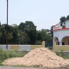
St. Luke's Church, Ranaghat
2.9 km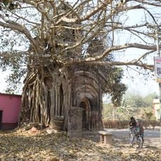
Pancharatna temple of Mukhopadhyay family
13 km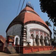
Shyamchand temple
15.7 km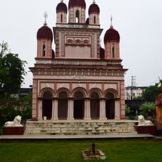
Nistarini Kali temple
1.3 km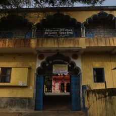
Jagadish Pandit's Shripat
13.8 km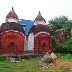
Twin Aatchala Shiva temple of Pal Chowdhury family
1.2 km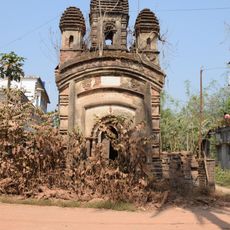
Pancharatna temple of Bandyopadhyay family
12.9 km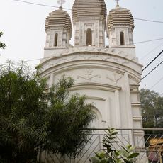
Pancharatna Shiva temple of Gangopadhyay family
7.2 km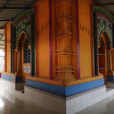
Gaudiya math of Bhaktibinod Thakur
7 km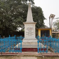
Krittibas Ojha memorial
11.4 km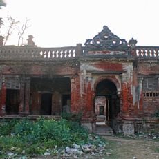
Zamindar House at Banamalipara
12.7 km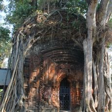
Aatchala terracotta temple
11.4 km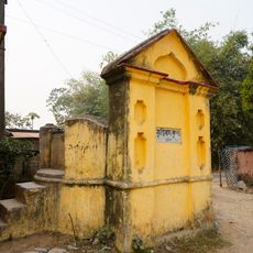
Krittibas kup
11.4 km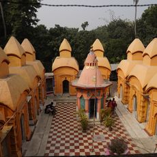
Dwadash mandir complex
7 km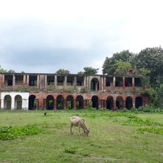
Mongolganj Neel Kuthi
17.6 km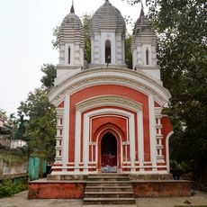
Uma Shankar temple
6.8 km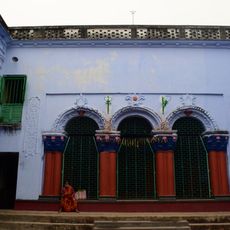
Pal family house
1.9 km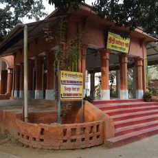
Advaita Pat
16.7 kmVisited this place? Tap the stars to rate it and share your experience / photos with the community! Try now! You can cancel it anytime.
Discover hidden gems everywhere you go!
From secret cafés to breathtaking viewpoints, skip the crowded tourist spots and find places that match your style. Our app makes it easy with voice search, smart filtering, route optimization, and insider tips from travelers worldwide. Download now for the complete mobile experience.

A unique approach to discovering new places❞
— Le Figaro
All the places worth exploring❞
— France Info
A tailor-made excursion in just a few clicks❞
— 20 Minutes