Nadia district

Log in to your account

AroundUs is a community-driven map of interesting places, built by curious explorers like you. It grows with every review, story, and photo you share.
Connect to save your favorite spots, contribute locations, and create personalized routes.
Continue with Google
Continue with Apple
Continue with X
Continue with Facebook
Continue with email
By continuing, you accept our Terms and Conditions and our Privacy Policy
Create an account
Add to collection
Map
Suggest a change
Share

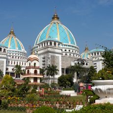
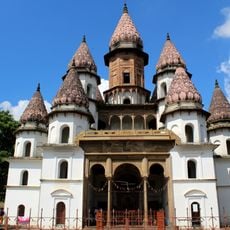
Nadia district, Administrative district in West Bengal, India

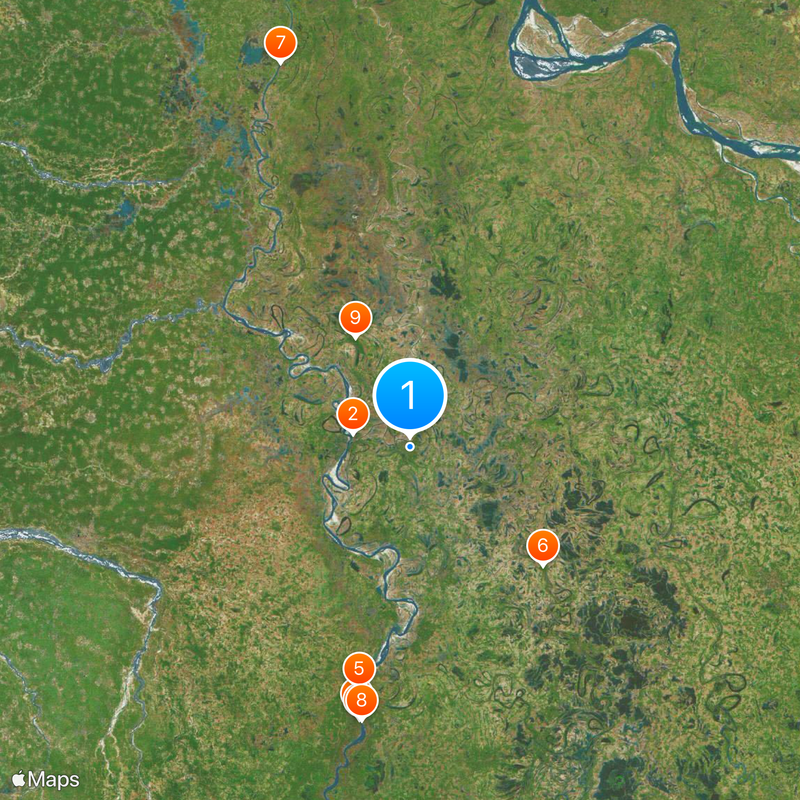
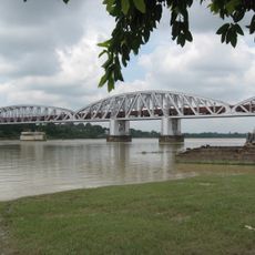
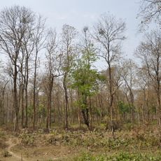
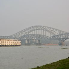
Nadia district spreads across flat alluvial plains formed by the Ganges Delta, divided into four administrative subdivisions with Krishnanagar serving as the headquarters. The landscape is crisscrossed by numerous river branches and canals that connect fertile fields and small settlements.

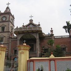
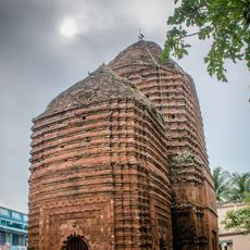
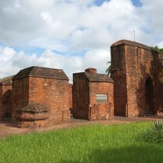
The area served as the capital of Bengal under the Sena Empire from 1159 until 1206. Bakhtiyar Khilji's conquest in 1202 marked the beginning of Muslim rule in the region.

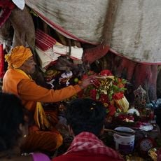
The name Nadia comes from the word 'Nad', meaning river, reflecting how waterways shape daily life across the area. Local markets and ferry crossings still follow rhythms tied to the flow of the Ganges and its tributaries.

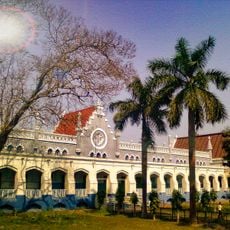
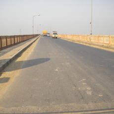
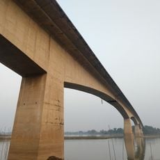
Railway connections link larger towns such as Nabadwip Dham, Krishnanagar City Junction, and Ranaghat Junction, making it easier to move around the area. The flat topography makes most places accessible, with roads often running alongside canals and river routes.

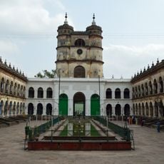
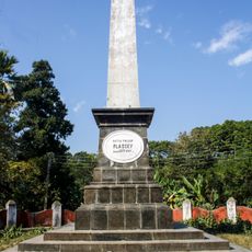
The Indigo revolt of 1859 began in Chaugacha village near Krishnanagar, driven by resistance against forced indigo cultivation by British planters. This uprising inspired plays and literature that addressed opposition to colonial exploitation.

Location: Presidency division

Capital city: Krishnanagar

Shares border with: Purba Bardhaman district, North 24 Parganas district, Hooghly district, Murshidabad district, Kushtia District, Meherpur District, Chuadanga District, Jhenaidah District

Website: http://nadia.nic.in

GPS coordinates: 23.40000,88.50000

Latest update: December 12, 2025 23:12

Photos
Reviews

Visited this place? Tap the stars to rate it and share your experience / photos with the community! Try now! You can cancel it anytime.

« Nadia district - Administrative district in West Bengal, India » is provided by Around Us (aroundus.com). Images and texts are derived from Wikimedia project under a Creative Commons license. You are allowed to copy, distribute, and modify copies of this page, under the conditions set by the license, as long as this note is clearly visible.

Discover hidden gems everywhere you go!

From secret cafés to breathtaking viewpoints, skip the crowded tourist spots and find places that match your style. Our app makes it easy with voice search, smart filtering, route optimization, and insider tips from travelers worldwide. Download now for the complete mobile experience.

Around Us App Screenshot

A unique approach to discovering new places

Le Figaro

All the places worth exploring

France Info

A tailor-made excursion in just a few clicks

20 Minutes