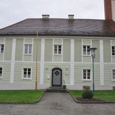
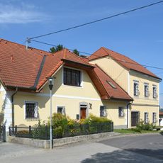
Ansfelden, municipality in Linz-Land District, Upper Austria, Austria
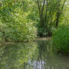
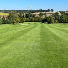
Ansfelden is a small town in Upper Austria with town rights located in the Linz-Land District near Linz. It stretches along the Traun and Krems rivers across about 32 square kilometers and is home to around 18,000 residents spread across fourteen districts, with Haid being the largest.
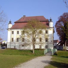
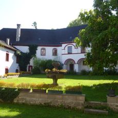
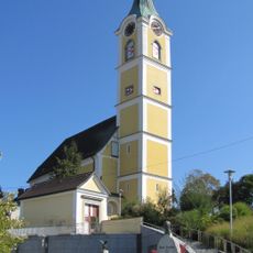
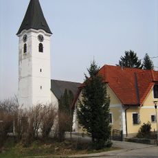
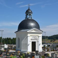
Ansfelden was granted town rights in 1355 and is deeply connected to the birth of composer Anton Bruckner in 1824, whose legacy continues to shape the town's reputation today. After World War II, the Haid district hosted a displaced persons camp from 1945 to 1964 that provided refuge for those in need.
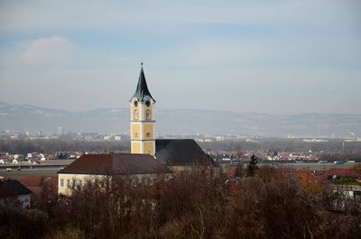
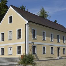
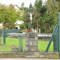
The name Ansfelden reflects its deep connection to composer Anton Bruckner, whose birthplace and museum shape the town's cultural memory. Walking through the streets, you notice how his musical legacy appears in everyday details like the organ pipes in the town's coat of arms and influences local gatherings throughout the year.
The town is easily reached from Linz and has two train stations on the Pyhrnbahn line with regular buses connecting to nearby towns and surrounding areas. It is small enough to walk through comfortably, yet offers good road connections via highways A1, A25, and A7 for those driving.
The Haid district was for a time one of Austria's most densely populated neighborhoods, reflecting the town's remarkable growth story. This rapid development made the area an interesting example of local transformation during the second half of the 20th century.
The community of curious travelers
AroundUs brings together thousands of curated places, local tips, and hidden gems, enriched daily by 60,000 contributors worldwide.