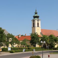
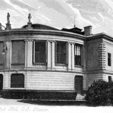
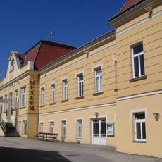
Bad Hall, municipality in Steyr-Land District, Upper Austria, Austria
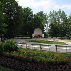
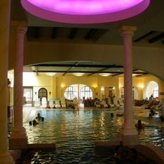
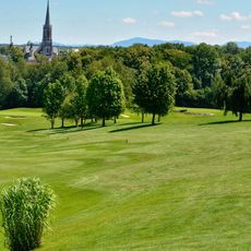
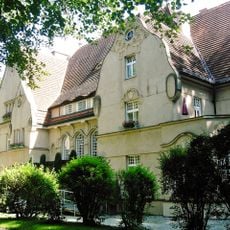
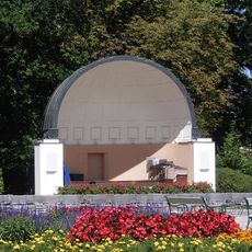
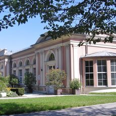
Bad Hall is a small Austrian town with a 34-hectare spa park on flat ground surrounded by gentle hills. The town offers spas and wellness centers with iodine-rich mineral water, plus a town center with shops, restaurants, and cultural events.
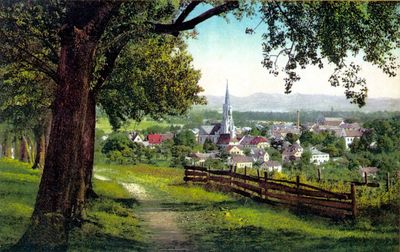
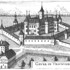
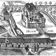
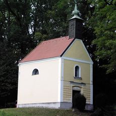
Bad Hall was first mentioned in 777 and gained market rights in 1287, which drove its growth as a trading place. The springs were used as healing baths from the 1820s onward, and famous visitors like Gustav Mahler and Emperor Franz Joseph I came here in the 19th century.
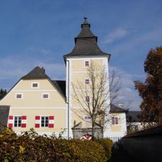
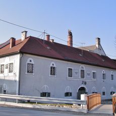
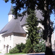
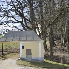
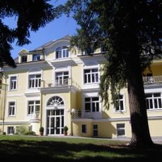
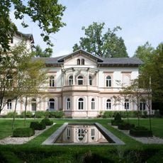
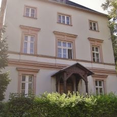
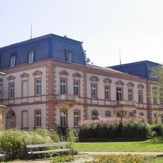
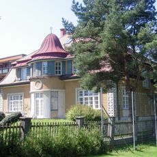
The name Bad Hall comes from the salt springs known for centuries. The spa park and historic villas show how people use this place as a retreat for relaxation.
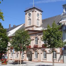
The town is easy to reach via highways or buses and trains from Linz, and most sights are close together. Walking is the best way to explore the area since it is flat and pedestrian-friendly.
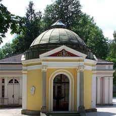
The water here contains iodine and bromine, which led to the opening of the first baths in 1829, a system still operating today. During World War II, the town served as a refuge for hospitals from Vienna and Linz.
The community of curious travelers
AroundUs brings together thousands of curated places, local tips, and hidden gems, enriched daily by 60,000 contributors worldwide.