
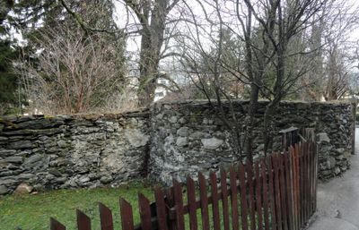
City wall of Schladming, Denkmalgeschütztes Objekt in Schladming (103127)
Location: Schladming
Address: Berggasse
GPS coordinates: 47.39058,13.69006
Latest update: March 2, 2025 20:16
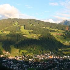
Planai
3.6 km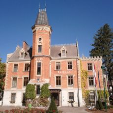
Town hall in Schladming
244 m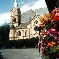
Protestant Church
4.5 km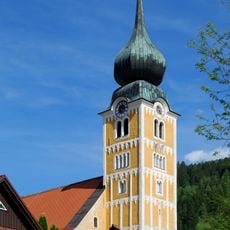
Saint Acacius Church
281 m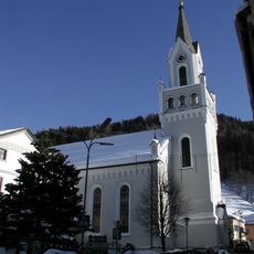
Saints Peter and Paul Church
88 m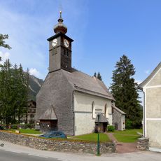
St. Rupert am Kulm
3.2 km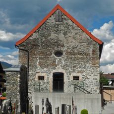
Annakapelle (Schladming)
287 m
Golf und Country Club Dachstein-Tauern
4.5 km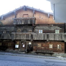
Heimatmuseum Bruderlade
279 m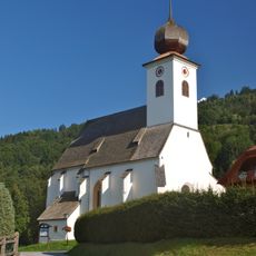
Kath. Filialkirche hl. Margaretha, Oberhaus
4.2 km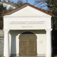
Kapelle zur alten Einsetz
444 m
Schmiedl-Kapelle
785 m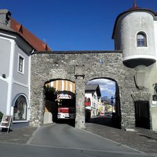
Salzburger Tor, Schladming
277 m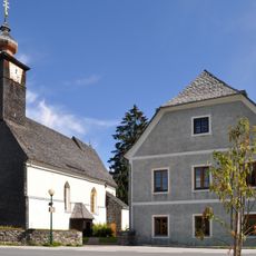
Pfarrhof Ramsau-Kulm
3.1 km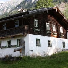
Farmhouse Angerer, Ramsau am Dachstein
3.8 km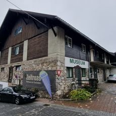
Museum Zeitroas
4.4 km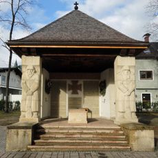
Kriegerdenkmal, Schladming
207 m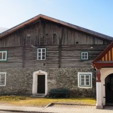
Wohnhaus, Alte Schmiede
777 m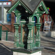
Weather house, Schladming
158 m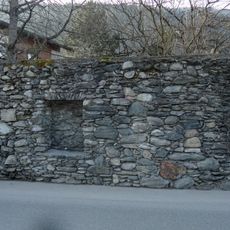
Stadtmauer
272 m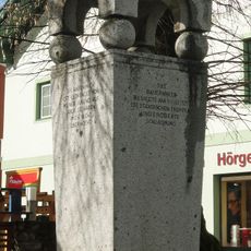
Bauernkriegsdenkmal, Schladming
159 m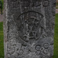
Bürgerschafts-Burgfriedstein
192 m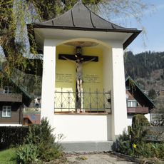
Bildstock, Pestkreuz
550 m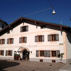
Hotel Alte Post, Schladming
188 m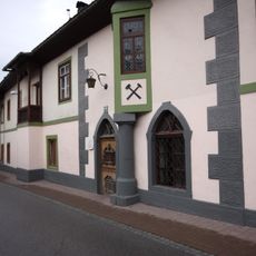
Gewerkenhaus, Schladming
72 m
Evang. Pfarrhaus
4.5 km
Bürgerhaus Schratter
112 m
Evang. Pfarrhaus
101 mVisited this place? Tap the stars to rate it and share your experience / photos with the community! Try now! You can cancel it anytime.
Discover hidden gems everywhere you go!
From secret cafés to breathtaking viewpoints, skip the crowded tourist spots and find places that match your style. Our app makes it easy with voice search, smart filtering, route optimization, and insider tips from travelers worldwide. Download now for the complete mobile experience.

A unique approach to discovering new places❞
— Le Figaro
All the places worth exploring❞
— France Info
A tailor-made excursion in just a few clicks❞
— 20 Minutes