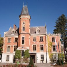
Schladming, Alpine resort municipality in Liezen District, Austria
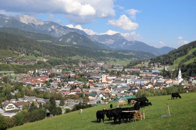
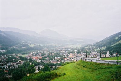
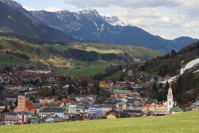
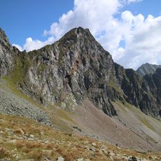
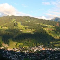
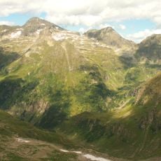
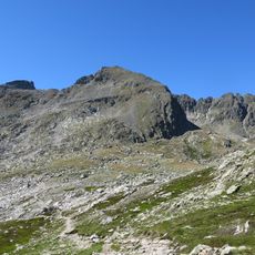
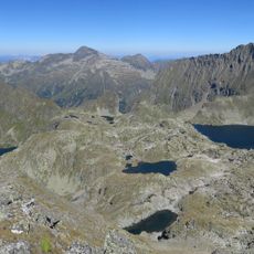
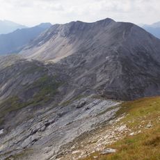
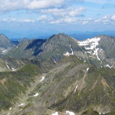
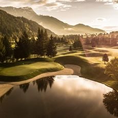
Schladming is a municipality in Liezen District, Styria, spreading over 82 square miles and sitting at roughly 2,400 feet (745 meters) above sea level. The municipal territory covers several valleys and reaches up to the peaks of the Schladming Tauern range, with the town itself running along the Enns valley floor.
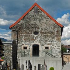
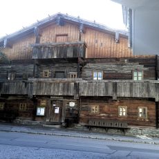
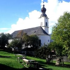
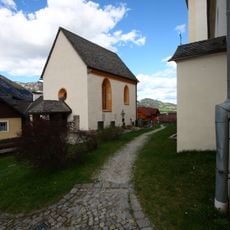
The first written record as Slaebnich dates to 1180, when the settlement served as a mining center for silver and iron extraction. After mining declined during the 19th century, the municipality grew into a winter sports center and hosted the alpine ski world championships in 2013.
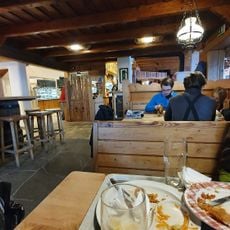
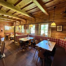
The name comes from the Slavic word meaning muddy stream, which locals still remember as a reference to the original settlement near water sources. Today the place functions as a meeting point where ski instructors, hotel workers and mountain farmers share daily life during winter and summer seasons.
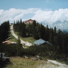
The municipality connects through highway exits, train lines and regional buses, with mountain lifts running during winter and summer months. Visitors find shops, banks and information desks in the town center, while ski runs and hiking trails start directly from cable car stations.
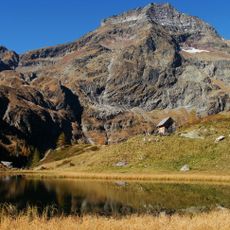
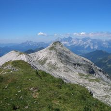
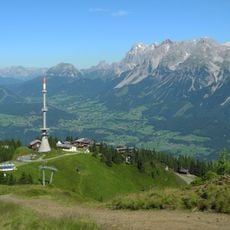
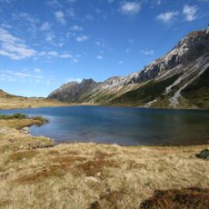
The Planai summit at 6,250 feet (1,906 meters) offers views over more than 150 surrounding alpine peaks, stretching to Dachstein and Großglockner on clear days. The descent from the summit down to the valley drops almost 3,900 feet (1,200 meters) and ranks among the longest continuous runs in the eastern Alps.
The community of curious travelers
AroundUs brings together thousands of curated places, local tips, and hidden gems, enriched daily by 60,000 contributors worldwide.