Enable Location

We need your location to show you interesting places around you

Discover nearby places

Find interesting locations and hidden gems around you

Precise directions

Get accurate directions and distances to places

Your location is never shared with other users. It's only used when you tap the location button.

Hochgolling

Log in to your account

Start exploring — it's free

Trusted by 64,622 travelers worldwide

Continue with Google
Continue with Apple
or

We will send you a code to connect

By continuing, you accept our Terms and Conditions and our Privacy Policy

Check your inbox

We've sent a pincode in your inbox. Please enter the code below.

Hochgolling
Discussion Reviews 1 Photos
6.7k Popularity

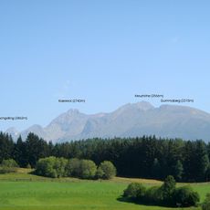
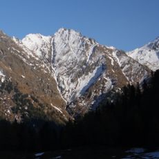
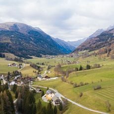
Hochgolling, Mountain summit in Schladming, Austria

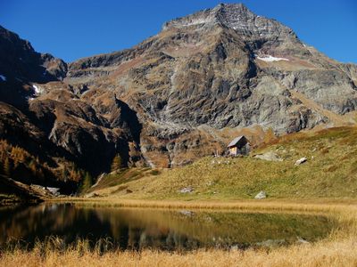
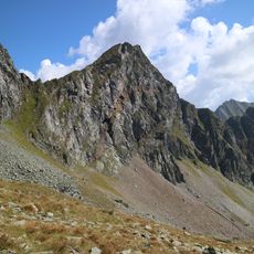
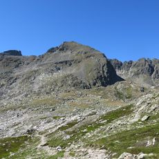
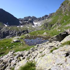
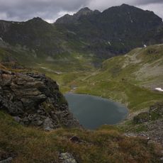
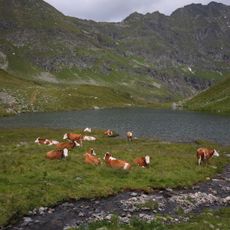
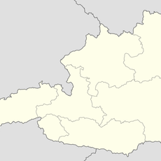
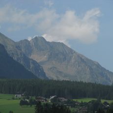
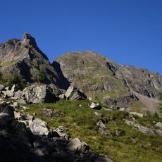
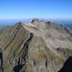
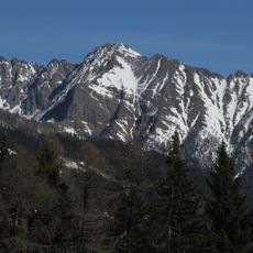
Hochgolling is the highest peak in the Lower Tauern range, sitting on the border between Styria and the state of Salzburg in central Austria. The mountain has a steep northern rock face that drops sharply, while the upper slopes are mostly bare rock and alpine grass.

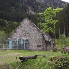
The first recorded ascent of Hochgolling took place in 1791, when a climber from the nearby town of Tamsweg reached the top. This early date makes it one of the first peaks in the Lower Tauern to have a documented summit visit.

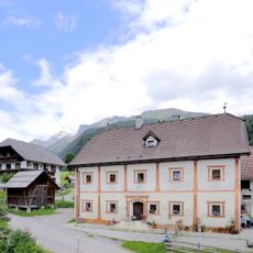
The summit sits exactly on the border between Styria and the state of Salzburg, a boundary that locals on both sides have long used as a reference point. Hikers from both regions share the same trails and often meet at the top, giving the place a quietly cross-regional character.

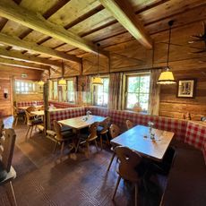
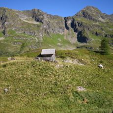
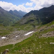
Reaching the top requires good fitness and proper alpine gear, as weather can change quickly at this elevation. Summer is the most reliable season for the ascent, with longer daylight hours and generally snow-free trails.

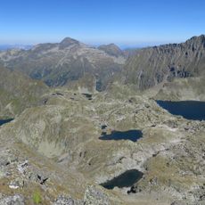
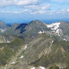
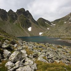
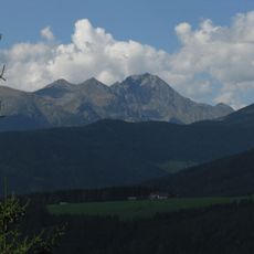
From the top, the view shifts noticeably depending on which direction you face: glaciated terrain to the west, and other major alpine massifs to the east and south. This range of contrasting landscapes visible from a single point is something many visitors do not expect when they arrive.

The community of curious travelers

AroundUs brings together thousands of curated places, local tips, and hidden gems, enriched daily by 60,000 contributors worldwide.

Start exploring
GPS coordinates
47.26627,13.76064
Latest update
March 3, 2026 10:10
Reviews
Share your experience

No review yet

Discussions
Start a discussion...

No discussion yet

« Hochgolling - Mountain summit in Schladming, Austria » is provided by Around Us (aroundus.com). Images and texts are derived from Wikimedia project under a Creative Commons license. You are allowed to copy, distribute, and modify copies of this page, under the conditions set by the license, as long as this note is clearly visible.

Discover hidden gems everywhere you go!

From secret cafés to breathtaking viewpoints, skip the crowded tourist spots and find places that match your style. Our app makes it easy with voice search, smart filtering, route optimization, and insider tips from travelers worldwide. Download now for the complete mobile experience.

Around Us App Screenshot

A unique approach to discovering new places

Le Figaro

All the places worth exploring

France Info

A tailor-made excursion in just a few clicks

20 Minutes

Around Us
Travel Guide & Maps
Download

Send to your phone

QR Code
1

Open the camera app on your mobile.

2

Point at the QR code with your camera. A notification will appear.

3

Tap the notification to open the link.