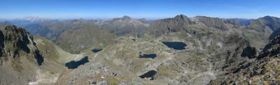
Klafferkessel, Nature reserve in Schladming, Austria.
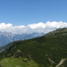
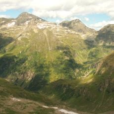
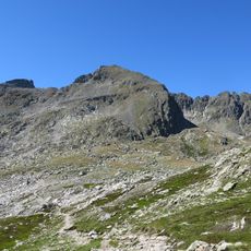
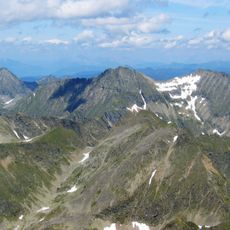
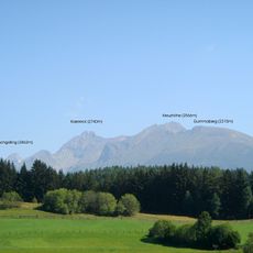
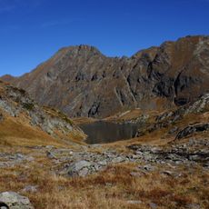
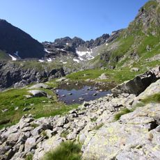
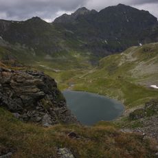
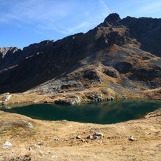
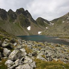
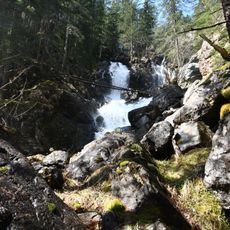
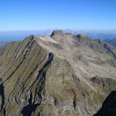
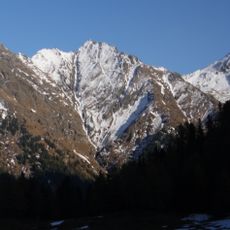
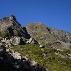
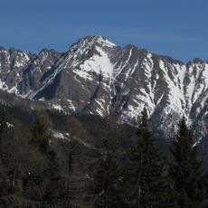
Naturschutzgebiet Klafferkessel encompasses two glacial cirques containing about 30 mountain lakes positioned above 2,300 meters in the Schladminger Tauern. The basins are ringed by steep rock faces and scree slopes, with the terrain shifting between bare alpine meadows and sparse vegetation.
The area was designated a protected reserve on December 1, 1980, securing 1,130 hectares of high alpine terrain. This protection status was established to safeguard the fragile landscape from future development and overuse.
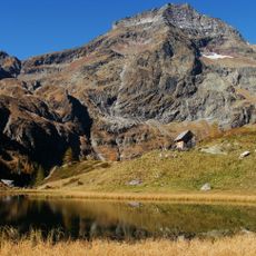
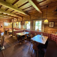
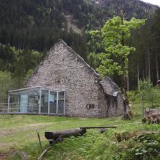
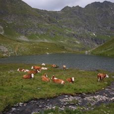
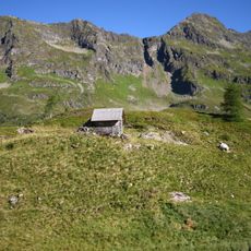
The network of mountain huts serves as gathering points where hikers pause and take in the high alpine landscape together. These stops shape how people experience the raw natural environment spread across the cirques.
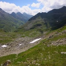
Access to the reserve begins from the Seeleiten parking area in Untertal, with the full circuit hiking route requiring about 9 hours to complete on a 21-kilometer trail. Layered clothing and water-resistant gear are important due to rapid weather changes at this elevation and consistently cool temperatures.
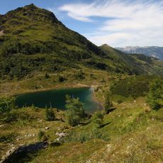
A marked trail runs through the reserve connecting mountain huts Gollinghütte and Preintalerhütte, yet many visitors overlook this intended route in favor of wandering freely among the lakes. This creates a contrast between the established path and how people actually experience the terrain.
The community of curious travelers
AroundUs brings together thousands of curated places, local tips, and hidden gems, enriched daily by 60,000 contributors worldwide.