
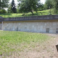
Mauern, Teil d.Stadtmauer, Denkmalgeschütztes Objekt in Stadtschlaining (30793)
Location: Stadtschlaining
Part of: Stadtschlaining city walls
Address: Stadtschlaining
GPS coordinates: 47.32414,16.27733
Latest update: September 5, 2025 19:31
Alter Jüdischer Friedhof Stadtschlaining
84 m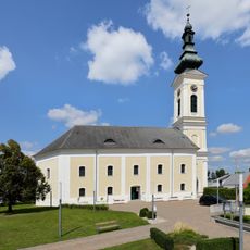
Protestant church in Stadtschlaining
68 m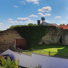
Part of the city wall of Stadtschlaining
38 m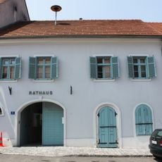
Rathaus Stadtschlaining
108 m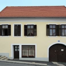
Bürgerhaus
50 m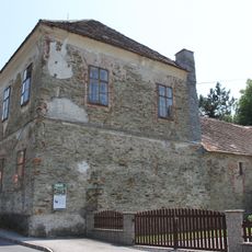
Kath. Volksschule Stadtschlaining
116 m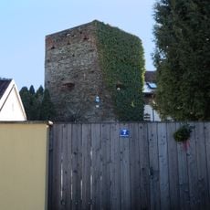
Mauern, Teil d.Stadtmauer
26 m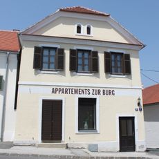
Bürgerhaus
96 m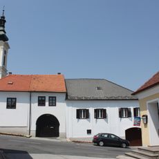
Bürgerhaus
53 m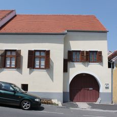
Bürgerhaus
61 m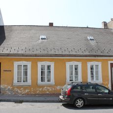
Stadtmuseum Stadtschlaining
111 m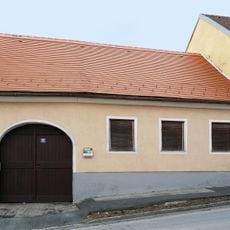
Bürgerhaus
66 m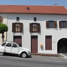
Bürgerhaus
43 m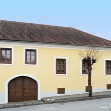
Bürgerhaus
86 m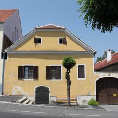
Bürgerhaus
66 m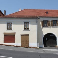
Bürgerhaus
41 m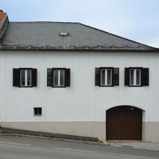
Bürgerhaus
44 m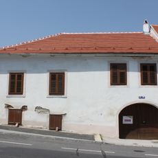
Bürgerhaus
78 m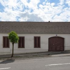
Bürgerhaus
99 m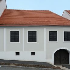
Bürgerhaus
44 m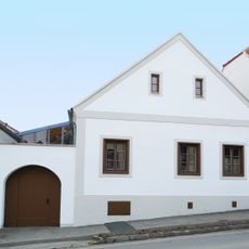
Bürgerhaus
80 m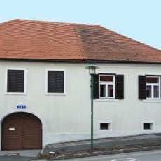
Bürgerhaus
75 m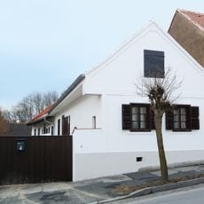
Bürgerhaus
80 m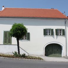
Bürgerhaus
88 m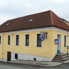
Bürgerhaus
67 m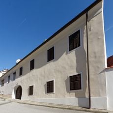
Bürgerhaus
105 m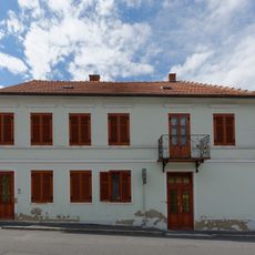
Bürgerhaus
110 m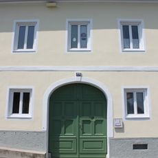
Evang.Pfarramt
65 mReviews
Visited this place? Tap the stars to rate it and share your experience / photos with the community! Try now! You can cancel it anytime.
Discover hidden gems everywhere you go!
From secret cafés to breathtaking viewpoints, skip the crowded tourist spots and find places that match your style. Our app makes it easy with voice search, smart filtering, route optimization, and insider tips from travelers worldwide. Download now for the complete mobile experience.

A unique approach to discovering new places❞
— Le Figaro
All the places worth exploring❞
— France Info
A tailor-made excursion in just a few clicks❞
— 20 Minutes