
Vallée-du-Ruiter Ecological Reserve, Canadian ecological reserve
Location: Potton
Inception: 1993
Website: http://mddep.gouv.qc.ca/biodiversite/reserves/vallee_ruiter/res_44.htm
GPS coordinates: 45.09860,-72.43190
Latest update: March 15, 2025 02:56
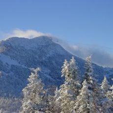
Jay Peak
20.8 km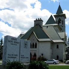
Saint Benedict Abbey
14.7 km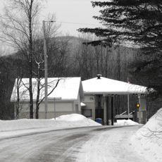
East Richford–Glen Sutton Border Crossing
23 km
Big Jay
22.1 km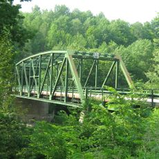
Missisquoi River Bridge
15.5 km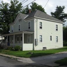
Sweat-Comings Company House
22.2 km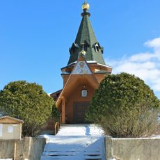
Holy Transfiguration skete
10.1 km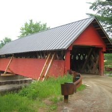
River Road Covered Bridge
16.2 km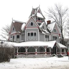
Sheldon Boright House
22.2 km
St. Ann's Episcopal Church
22 km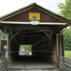
Pont Narrows
18.2 km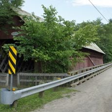
Pont de la Frontière
10.7 km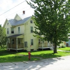
F.W. Wheeler House
22.4 km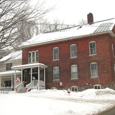
Richford Primary School
22.3 km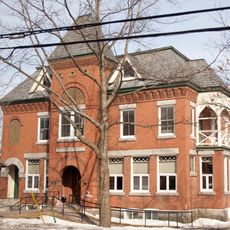
Pettes Memorial Library
14.5 km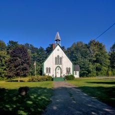
Holy Trinity Anglican Church
23.3 km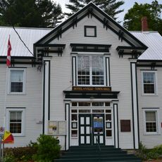
Bolton-Est Town Hall
13 km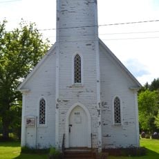
Église Holy Trinity de South Bolton
8.1 km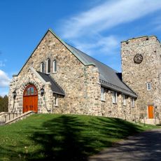
Église anglicane Saint-Paul
13.1 km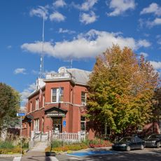
Noyau institutionnel de Knowlton
14.8 km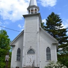
Église Methodist United
12.6 km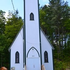
Église Saint-Patrick de Bolton Centre
13.1 km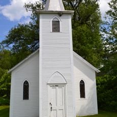
Église Saint-Andrew de The Pass
10.6 km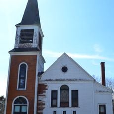
Ancienne église Wesley United
24.6 km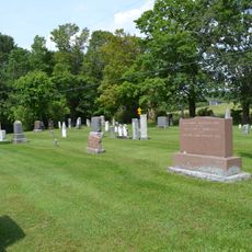
Cimetière Blunt
13.7 km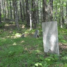
Cimetière Fuller
10.7 km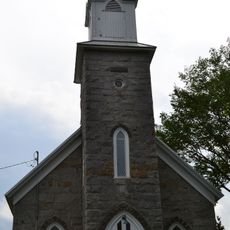
Église Saint-Matthew de Stukely-Sud
24.8 km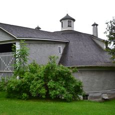
Grange circulaire Damase-Amédée-Dufresne
14.3 kmReviews
Visited this place? Tap the stars to rate it and share your experience / photos with the community! Try now! You can cancel it anytime.
Discover hidden gems everywhere you go!
From secret cafés to breathtaking viewpoints, skip the crowded tourist spots and find places that match your style. Our app makes it easy with voice search, smart filtering, route optimization, and insider tips from travelers worldwide. Download now for the complete mobile experience.

A unique approach to discovering new places❞
— Le Figaro
All the places worth exploring❞
— France Info
A tailor-made excursion in just a few clicks❞
— 20 Minutes