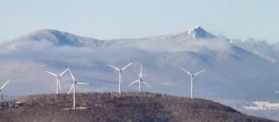
Big Jay, Mountain summit in Vermont, US
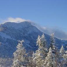
Big Jay is a summit in the Green Mountains standing at 3,786 feet (1,154 m) and forms part of a connected ridge between Jay Peak and Little Jay. The mountain sits within heavily forested terrain and is reached by narrow, sometimes unmarked paths that wind through the ridgeline.
The mountain has a long tradition of hiking in the region, with various routes through the ridge established over decades. In 2007 illegal activity on the eastern slope caused environmental damage and prompted increased protection measures for the forest habitat.
The peak belongs to the New England Hundred Highest list, drawing hikers who maintain a summit register to document their mountaineering achievements.
The ascent follows unmarked or lightly marked paths that require careful navigation and local knowledge to find. Visitors should be prepared for dense forest, natural obstacles, and changing trail conditions throughout the climb.
The summit forms the natural border between Franklin and Orleans counties, serving as a dividing line in the regional geography. The water flowing from its slopes feeds into two separate streams that flow in different directions.
The community of curious travelers
AroundUs brings together thousands of curated places, local tips, and hidden gems, enriched daily by 60,000 contributors worldwide.