
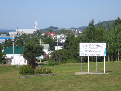
Les Méchins, municipality in Quebec, Canada
Location: La Matanie
Inception: November 27, 1982
Shares border with: Cap-Chat
Website: http://lesmechins.com
GPS coordinates: 49.00000,-66.98330
Latest update: April 15, 2025 20:53
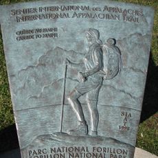
International Appalachian Trail
47.2 km
Mount Albert
58.1 km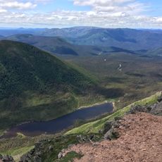
Gaspésie National Park
55.3 km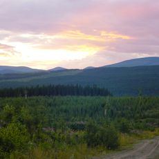
Réserve faunique de Matane
30.8 km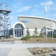
Exploramer
39 km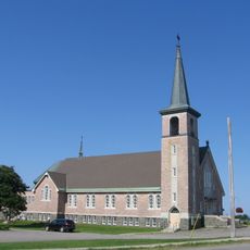
Sainte-Félicité Church
28.1 km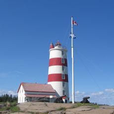
Pointe-des-Monts Lighthouse
45.7 km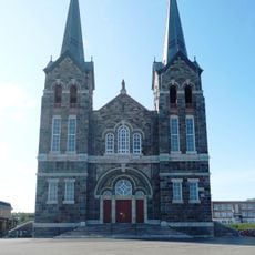
Église de Sainte-Anne-des-Monts
39 km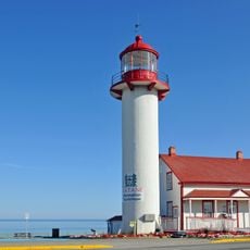
Matane Lighthouse
44.6 km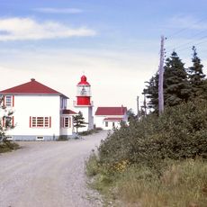
Cap-Chat Lighthouse
20.3 km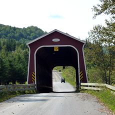
Jean-Chassé Bridge
44.3 km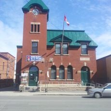
Matane Armoury
43.5 km
Pont François-Gagnon
44.2 km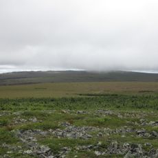
Habitat floristique de la Serpentine-du-Mont-Albert
57.9 km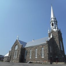
Church of St Norbert
24.1 km
Secteur institutionnel de l'Église-Saint-Édouard
298 m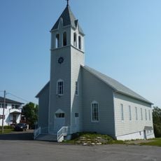
Sainte-Paule Church
56.7 km
Matane Courthouse
43.5 km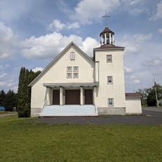
Church of St. Alexander, Saint-Alexandre-des-Lacs
63 km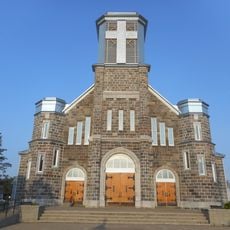
Saint-Jérôme Church
43.5 km
Joseph-Rouleau Cultural Complex
43.4 km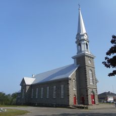
Saint-Édouard Church
241 m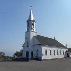
Les-Saints-Sept-Frères Church
15.4 km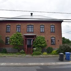
Vieille prison de Sainte-Anne-des-Monts
38.7 km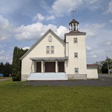
Saint-Alexandre-des-Lacs
63 km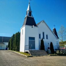
Saint-Jean-Baptiste-Vianney Church
53 km
Les Saints-Sept-Frères
15.5 km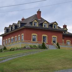
Maison Théodore-Jean-Lamontagne
40 kmVisited this place? Tap the stars to rate it and share your experience / photos with the community! Try now! You can cancel it anytime.
Discover hidden gems everywhere you go!
From secret cafés to breathtaking viewpoints, skip the crowded tourist spots and find places that match your style. Our app makes it easy with voice search, smart filtering, route optimization, and insider tips from travelers worldwide. Download now for the complete mobile experience.

A unique approach to discovering new places❞
— Le Figaro
All the places worth exploring❞
— France Info
A tailor-made excursion in just a few clicks❞
— 20 Minutes