Mount Albert, Mountain summit in Mont-Albert, Quebec, Canada.
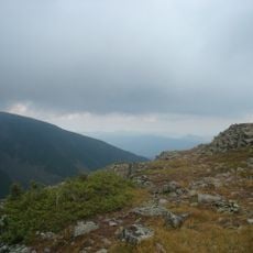
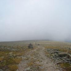
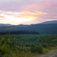
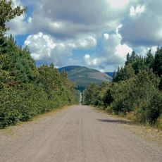
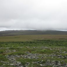
Mount Albert is a mountain in the Chic-Choc range of Gaspésie National Park, Quebec, reaching 1,151 m. Its summit is a 13 km² plateau called La Table à Moïse, holding two summits: Albert North at 1,070 m and Albert South at 1,151–1,154 m. The bedrock is serpentinite, oceanic crust uplifted during the formation of the Appalachian Mountains about 480 million years ago.
Geologist Alexander Murray made the first recorded ascent on 26 August 1845, the birthday of Prince Albert of Saxe-Coburg and Gotha, and named the mountain after him. The summit plateau is called La Table à Moïse, or Moses's Table.
The summit plateau, La Table à Moïse, lies above the tree line and is protected as the Serpentine-du-Mont-Albert floral habitat, a 27.28 km² area created to safeguard four plants very rare in Quebec. Two of them, the green-bracted goldenrod (Solidago chlorolepis) and the green-bracted willow (Salix chlorolepis), grow only in the Mount Albert region.
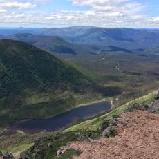
The ascent starts near sea level and climbs to the 1,151 m summit, so it is a long, demanding hike; the summit plateau, La Table à Moïse, lies above the tree line. From the top, hikers see the St. Lawrence, the Côte-Nord and the bedrock of the Canadian Shield. The mountain lies entirely within Gaspésie National Park, and the plateau is protected as the Serpentine-du-Mont-Albert floral habitat.
The flat summit plateau, La Table à Moïse, is a 13 km² alpine tundra above the tree line. It shelters two plants found nowhere else on Earth: Solidago chlorolepis and Salix chlorolepis, both restricted to the mountain's serpentine rock.
The community of curious travelers
AroundUs brings together thousands of curated places, local tips, and hidden gems, enriched daily by 94,056 contributors worldwide.