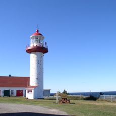
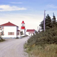
Notre Dame Mountains, Mountain range in eastern Quebec, Canada.
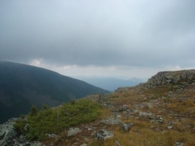
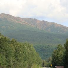
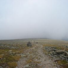
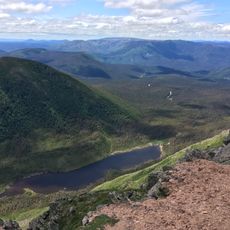
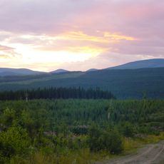
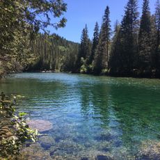
The Monts Notre-Dame are a mountain range in eastern Quebec that runs from the Quebec City area to the Gaspésie Peninsula, with the Chic-Choc Mountains forming its eastern section. The slopes are covered in dense forest and cut through by deep river valleys that divide the terrain into distinct sections.
Samuel de Champlain recorded this range on his maps of New France in the early 1600s, giving the mountains a place in the first European cartography of the region. Later, traders and settlers used the valleys and passes as they moved eastward through the territory.
Many place names in the range come from Indigenous languages spoken by the peoples who lived here long before European contact. These names still appear on trail signs and maps today, making them a visible part of the landscape for anyone who passes through.
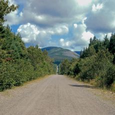
Trails through the range are most accessible from late spring to early fall, once snow has cleared from the higher sections. Entering through one of the nearby national parks is a good way to find marked paths and basic visitor facilities.
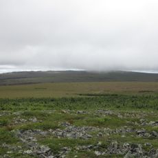
The Chic-Chocs shelter one of the last woodland caribou herds found south of the Saint Lawrence River, which is very unusual for a mountain range at this latitude. The herd is small and closely monitored, making any sighting a rare event for visitors in the area.
The community of curious travelers
AroundUs brings together thousands of curated places, local tips, and hidden gems, enriched daily by 60,000 contributors worldwide.