Enable Location

We need your location to show you interesting places around you

Discover nearby places

Find interesting locations and hidden gems around you

Precise directions

Get accurate directions and distances to places

Your location is never shared with other users. It's only used when you tap the location button.

Mont Jacques-Cartier

Log in to your account

Start exploring — it's free

Trusted by 62,365 travelers worldwide

Continue with Google
Continue with Apple
or

We will send you a code to connect

By continuing, you accept our Terms and Conditions and our Privacy Policy

Check your inbox

We've sent a pincode in your inbox. Please enter the code below.

Mont Jacques-Cartier

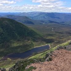
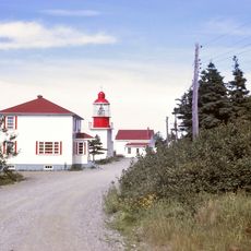
Mont Jacques-Cartier, Mountain summit in Gaspesian Provincial Park, Canada.

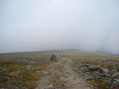
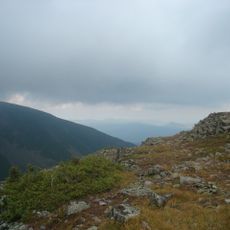
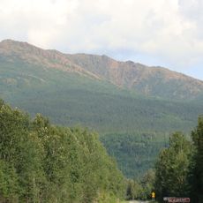
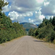
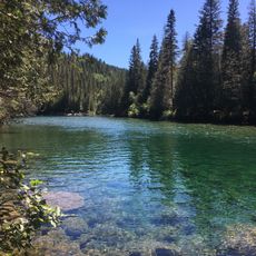
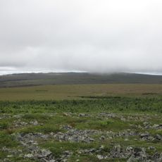
Mont Jacques-Cartier is the highest peak of the Chic-Choc Mountains in Quebec, rising to about 1270 meters above surrounding terrain. The mountain sits within a protected park and is surrounded by dense forest, with alpine vegetation appearing at higher elevations.

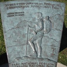
The peak was named after French explorer Jacques Cartier, who led several expeditions to Canada during the 16th century. This naming reflects the European exploration and documented history of the region.

The mountain and surrounding lands hold deep ties to Indigenous peoples who traditionally used the natural resources of these territories. This connection remains visible in how the landscape is understood and respected by visitors today.

The hiking trails are most accessible between June and September when weather is stable and paths are well maintained. Visitors should bring warm clothing since temperatures at the summit are significantly cooler than in lower valleys.

The summit area is a final refuge for woodland caribou populations south of the Saint Lawrence River, representing one of the last remaining groups. These rare animals are difficult to spot, yet their presence makes this location a crucial sanctuary for the species.

The community of curious travelers

AroundUs brings together thousands of curated places, local tips, and hidden gems, enriched daily by 60,000 contributors worldwide.

Start exploring
Location
Elevation above the sea
1,270 m
GPS coordinates
48.98872,-65.94824
Latest update
December 10, 2025 16:23
« Mont Jacques-Cartier - Mountain summit in Gaspesian Provincial Park, Canada » is provided by Around Us (aroundus.com). Images and texts are derived from Wikimedia project under a Creative Commons license. You are allowed to copy, distribute, and modify copies of this page, under the conditions set by the license, as long as this note is clearly visible.

Discover hidden gems everywhere you go!

From secret cafés to breathtaking viewpoints, skip the crowded tourist spots and find places that match your style. Our app makes it easy with voice search, smart filtering, route optimization, and insider tips from travelers worldwide. Download now for the complete mobile experience.

Around Us App Screenshot

A unique approach to discovering new places

Le Figaro

All the places worth exploring

France Info

A tailor-made excursion in just a few clicks

20 Minutes

Around Us
Travel Guide & Maps
Download

Send to your phone

QR Code
1

Open the camera app on your mobile.

2

Point at the QR code with your camera. A notification will appear.

3

Tap the notification to open the link.