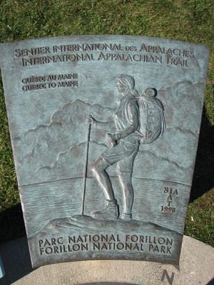
International Appalachian Trail, Long-distance hiking trail in Gaspésie, Canada
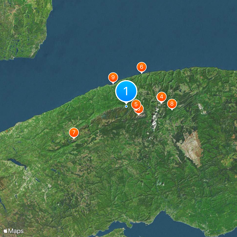
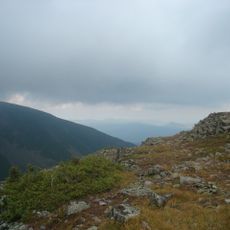
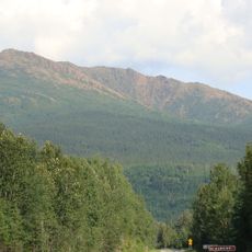
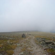
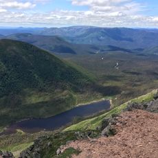
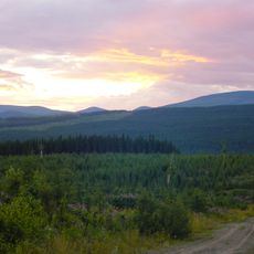
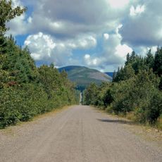
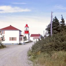
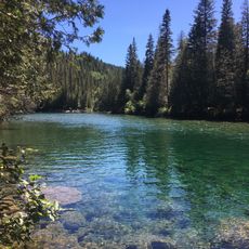
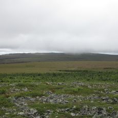
The International Appalachian Trail is a long-distance hiking route stretching over 650 kilometers through Quebec's mountains, forests, and coastal areas from Matapédia to Cap-Gaspé. The path includes high ridges, wooded valleys, and sections with views of water, offering walkers a mix of terrain types and landscapes throughout the journey.
In 1994, a hiker named Joseph E. Brennan proposed connecting the Appalachian regions of Quebec, New Brunswick, and Maine with a continuous trail system. His vision eventually led to the creation of this cross-border route linking communities and landscapes across three jurisdictions.
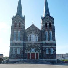
The trail's name reflects its connection to the Appalachian mountain range and the communities living along it. Local residents maintain strong ties to the ridge, using it as a backdrop to their daily lives and stories.
The route includes camping areas, shelters, and water sources at regular intervals, making it possible to complete the full journey in roughly 35 to 40 days. Check conditions before setting out, as weather and seasonal snow affect when you can safely walk the entire trail.
The mountains crossed by this trail were once part of the same mountain system some 250 million years ago before the continents drifted apart. This deep geological connection links the landscapes you see today to a shared ancient past.
The community of curious travelers
AroundUs brings together thousands of curated places, local tips, and hidden gems, enriched daily by 60,000 contributors worldwide.