Île aux Tourtes Bridge, Highway bridge between Senneville and Vaudreuil-Dorion, Canada.
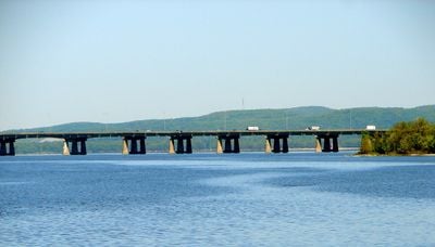
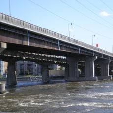
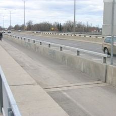
The Île aux Tourtes Bridge is a concrete highway bridge between Senneville and Vaudreuil-Dorion that crosses the Lake of Two Mountains, connecting Montreal Island to mainland Quebec. It carries six lanes of Autoroute 40 over a total length of just under 2 kilometers (about 1.2 miles).
The bridge opened in 1966 as part of the Trans-Canada Highway network and quickly became the main fixed link between Montreal and western Quebec. Decades of heavy traffic combined with harsh winters have taken a toll on the structure, leading to a series of repair campaigns over the years.
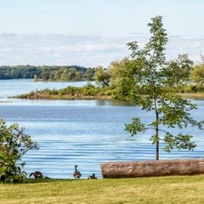
For people who commute daily between Montreal and the western suburbs, this crossing is a fixed point in their routine. On both sides of the road, the open water of the Lake of Two Mountains gives drivers a rare pause in an otherwise dense urban drive.
The bridge is currently undergoing major repair work, so checking traffic conditions before setting out is a good idea, especially at peak hours. The crossing is for motor vehicles only, so pedestrians and cyclists should plan an alternative route.
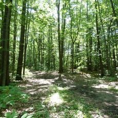
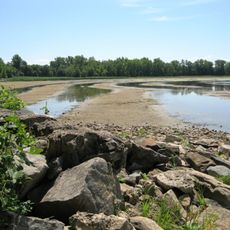
The small island that gave the bridge its name sits nearby and is now a protected natural area that most drivers never notice as they cross. Its name comes from the French word for turtledove, a bird that was once abundant in the area.
The community of curious travelers
AroundUs brings together thousands of curated places, local tips, and hidden gems, enriched daily by 60,000 contributors worldwide.