
Sainte-Marthe, municipality in Quebec, Canada
Location: Vaudreuil-Soulanges
Inception: December 17, 1980
Shares border with: Rigaud
Website: http://sainte-marthe.ca
GPS coordinates: 45.40000,-74.30000
Latest update: May 11, 2025 16:35
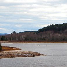
Ottawa River
17.8 km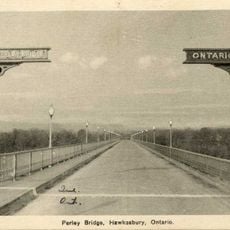
Perley Bridge
5.4 km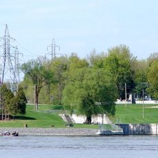
Carillon Canal
19.6 km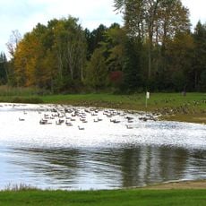
Voyageur Provincial Park
20.5 km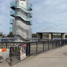
Parc Delpha-Sauvé
20.4 km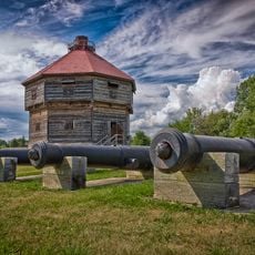
Coteau-du-Lac canal
15.8 km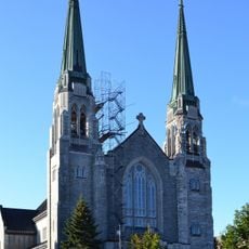
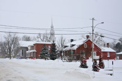
Basilique-Cathédrale Sainte-Cécile
20.7 km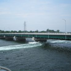
Pont Monseigneur-Langlois
17 km
Maison Félix-Leclerc
19.3 km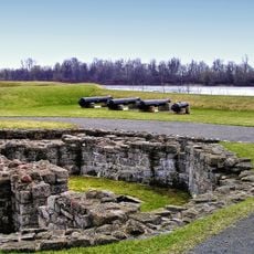
Fort Coteau-du-Lac
15.6 km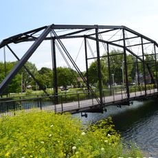
Pont Jean-De La Lande
20.9 km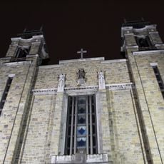
Église de l'Immaculée-Conception de Bellerive
19.8 km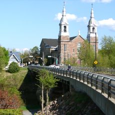
Rigaud-De Cavagnal Bridge
8.5 km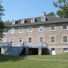
Carillon Barracks
19.2 km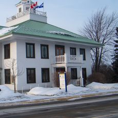
Ancien hôtel de ville de Rigaud
8.5 km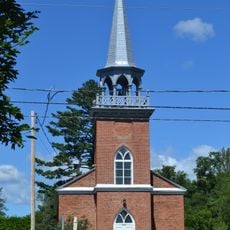
Église Christ Church de Saint-André-d'Argenteuil
18.2 km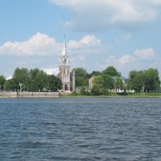
Site du patrimoine d'Oka
17.7 km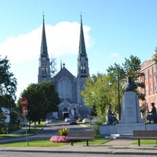
Arrondissement institutionnel de la paroisse de Sainte-Cécile
20.5 km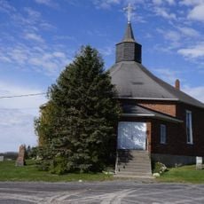
St. Andrew's United Church and Cemetery
16.7 km
Musée d'Hudson
13.8 km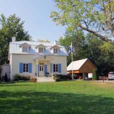
Site du patrimoine de la Maison-Félix-Leclerc
19.3 km
Hudson Town Hall
13.9 km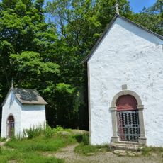
Calvaire d'Oka
20.5 km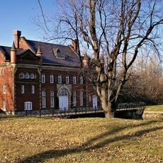
Le Petit Pouvoir
16.5 km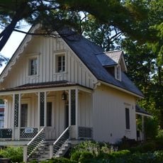
Maison Halcro
13.8 km
Collector's House
19.5 km
Maison Barclay
19.3 km
Macdonell-Williamson House
19.3 kmReviews
Visited this place? Tap the stars to rate it and share your experience / photos with the community! Try now! You can cancel it anytime.
Discover hidden gems everywhere you go!
From secret cafés to breathtaking viewpoints, skip the crowded tourist spots and find places that match your style. Our app makes it easy with voice search, smart filtering, route optimization, and insider tips from travelers worldwide. Download now for the complete mobile experience.

A unique approach to discovering new places❞
— Le Figaro
All the places worth exploring❞
— France Info
A tailor-made excursion in just a few clicks❞
— 20 Minutes