
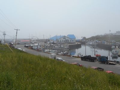
Sainte-Thérèse-de-Gaspé, municipality in Quebec, Canada
Location: Le Rocher-Percé
Inception: September 6, 1930
Website: http://www.saintetheresedegaspe.com/
Shares border with: Percé
Website: http://saintetheresedegaspe.com
GPS coordinates: 48.41667,-64.41667
Latest update: March 18, 2025 06:34
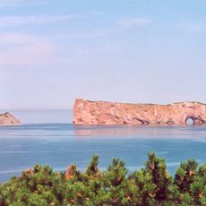
Perce Rock
20 km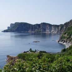
Forillon National Park
54 km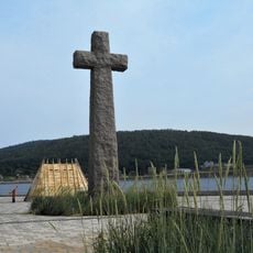
Cross of Gaspé
46 km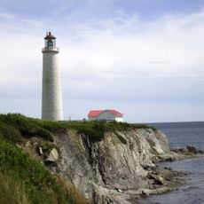
Cap-des-Rosiers Lighthouse
51.4 km
Île-Bonaventure-et-du-Rocher-Percé National Park
20.8 km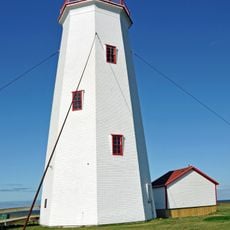
Miscou Island Lighthouse
45.7 km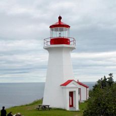
Cap Gaspé Lighthouse
41.7 km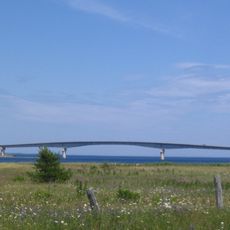
Miscou bridge
60.2 km
Mont Sainte-Anne
17.7 km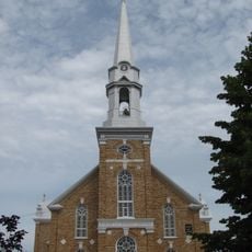
Église de L'Assomption-De-Notre-Dame de Grande-Rivière
6.5 km
Percé Geopark
18.8 km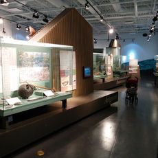
Gaspesie Museum
47 km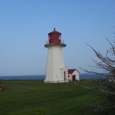
Cap d'Espoir Lighthouse
7.4 km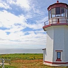
Cap-Blanc Lighthouse
17.4 km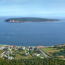
Site patrimonial de Percé
18.9 km
Gespeg Micmac interpretation site
51.7 km
Villa Frederick-James
19.4 km
Église Saint-Phillip
41.1 km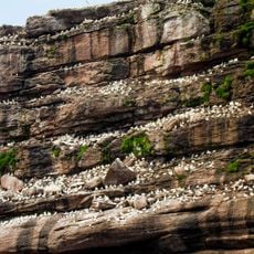
Bonaventure Island and Percé Rock Migratory Bird Sanctuary
20.4 km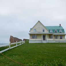
Biard house
19.5 km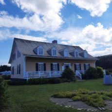
Manoir Le Boutillier
58 km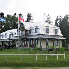
Site patrimonial de Port-Daniel
48.6 km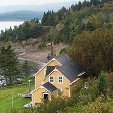
Xavier Blanchette House
43.8 km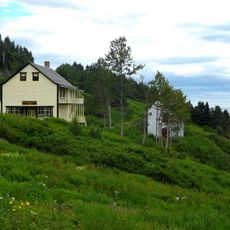
Hyman House and Store
44.1 km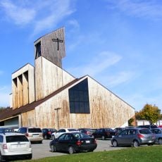
Saint-Albert-le-Grand
46.4 km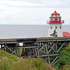
Maison en forme de phare, Grande-Rivière
6 km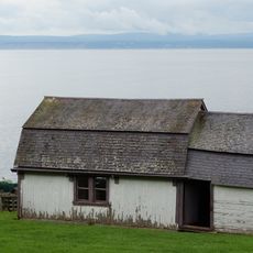
Xavier Blanchette Storage
43.7 km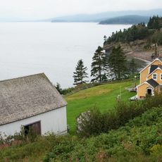
Xavier Blanchette Barn
43.7 kmReviews
Visited this place? Tap the stars to rate it and share your experience / photos with the community! Try now! You can cancel it anytime.
Discover hidden gems everywhere you go!
From secret cafés to breathtaking viewpoints, skip the crowded tourist spots and find places that match your style. Our app makes it easy with voice search, smart filtering, route optimization, and insider tips from travelers worldwide. Download now for the complete mobile experience.

A unique approach to discovering new places❞
— Le Figaro
All the places worth exploring❞
— France Info
A tailor-made excursion in just a few clicks❞
— 20 Minutes