
Norwich, township municipality in Ontario, Canada
Location: Oxford County
Shares border with: Woodstock, Norfolk County
Website: http://twp.norwich.on.ca
GPS coordinates: 42.98333,-80.60000
Latest update: March 12, 2025 11:08
Annandale National Historic Site
16.7 km
Capitol Theatre, Woodstock
20.9 km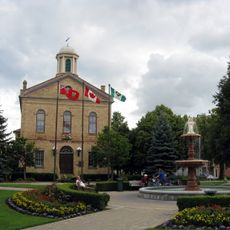
Old Woodstock Town Hall
20.7 km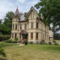
Annandale National Historic Site
16.7 km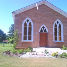
Norwich Gore United Church
1.3 km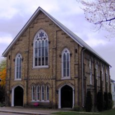
Knox Presbyterian Church
399 m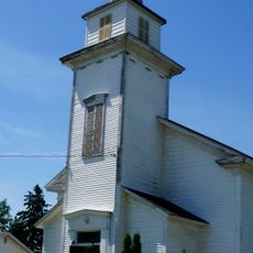
Mount Elgin Baptist Church
15.9 km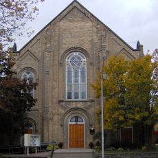
Norwich United Church
460 m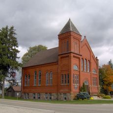
Curries United Church
13.9 km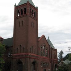
Knox Presbyterian Church
20.9 km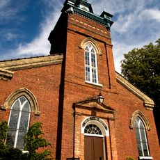
Old St. Paul's Church
20.4 km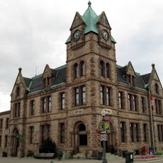
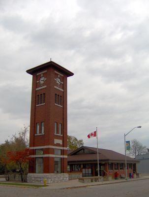
Woodstock City Hall
20.7 km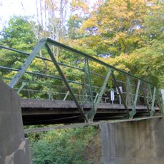
Otter Creek Bridge
9.7 km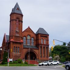
Dundas Street United Church
21.1 km
Gallery Cinemas
20.8 km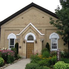
Old Registry Office
21 km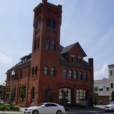
Perry Street Fire Hall
20.8 km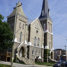
Central United Church
20.8 km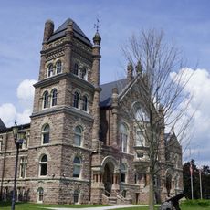
Oxford County Court House
21 km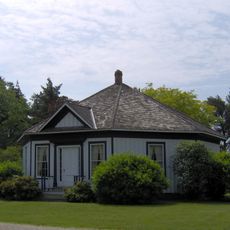
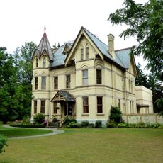
Woodlawn Place/Oddy House
6.8 km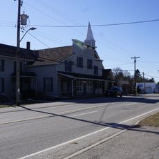
Springford Store
9.3 km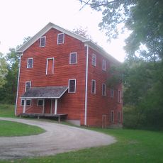
Otterville Mill
6.5 km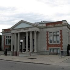
Woodstock Public Library
21 km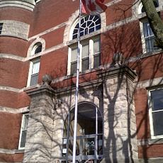
94 Graham Street
21.1 km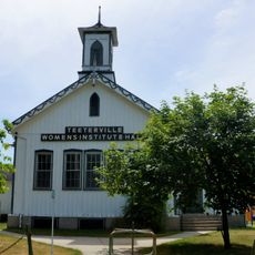
S.S. No. 11 Teeterville
13.5 km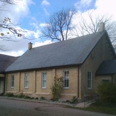
Norwich Museum
1.3 km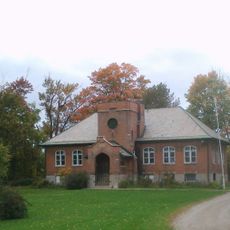
Oxford County Museum School
6.6 km
447 Hunter Street
21 kmVisited this place? Tap the stars to rate it and share your experience / photos with the community! Try now! You can cancel it anytime.
Discover hidden gems everywhere you go!
From secret cafés to breathtaking viewpoints, skip the crowded tourist spots and find places that match your style. Our app makes it easy with voice search, smart filtering, route optimization, and insider tips from travelers worldwide. Download now for the complete mobile experience.

A unique approach to discovering new places❞
— Le Figaro
All the places worth exploring❞
— France Info
A tailor-made excursion in just a few clicks❞
— 20 Minutes