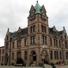
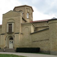
Oxford County, regional municipality in Ontario, Canada
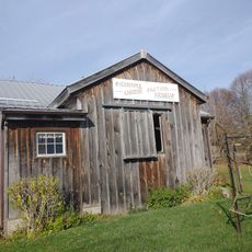
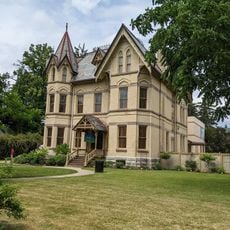
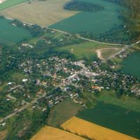
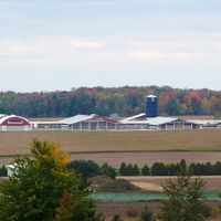
Oxford County is an upper-tier municipality in southwestern Ontario with Woodstock as its main town. The region encompasses dairy farms, small communities, industrial facilities, and recreational areas spread across flat agricultural terrain.
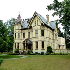
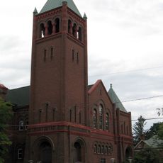
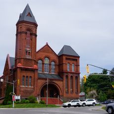
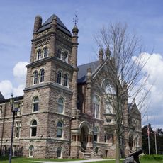
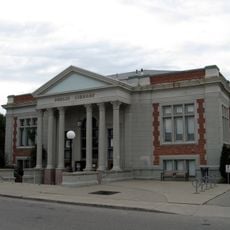
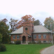
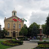
Settled in the early 1800s, Oxford County quickly developed into an agricultural and industrial hub. Cheese production became a defining industry, while limestone quarrying and processing plants later supported regional growth.
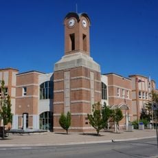
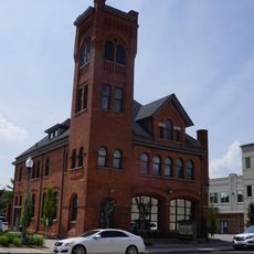
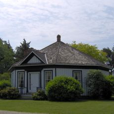
Woodstock serves as the cultural hub where farmers markets and local festivals celebrate the region's dairy heritage. The Barn Quilt Trails throughout the countryside display patterns that honor local traditions and agricultural roots.
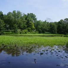
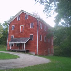
The region is easily accessible by car from Toronto, approximately two hours away via Highway 401. Visitors can find parking, conservation areas with campgrounds, golf courses, and seasonal attractions like berry picking and pumpkin patches.
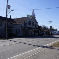
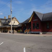
Punkeydoodles Corners draws visitors nationwide on Canada Day due to its unusually humorous place name. This small location exemplifies the region's quirky character and has become a curious destination for those seeking memorable town names.
The community of curious travelers
AroundUs brings together thousands of curated places, local tips, and hidden gems, enriched daily by 60,000 contributors worldwide.