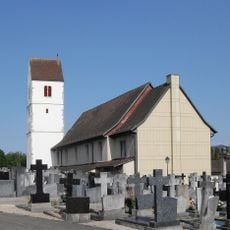
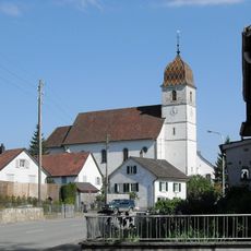
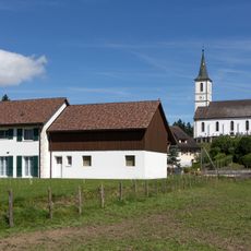
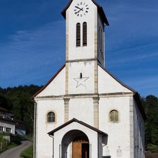
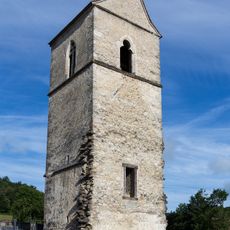
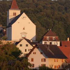
Damphreux, Rural settlement in Porrentruy district, Switzerland
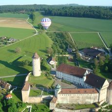
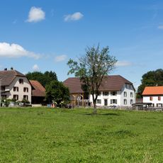
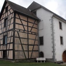
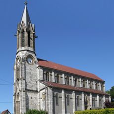
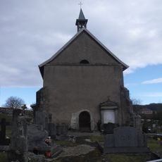
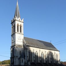
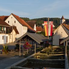
Damphreux is a small rural village in the Porrentruy district, nestled among agricultural fields and forest areas. The scattered homes sit in a gentle landscape typical of the Swiss Jura region.
The village first appeared in written records in 1161 under the name Damfriol, developing as a rural settlement over the centuries. In 2023, it merged with neighboring municipalities to form the new community of Damphreux-Lugnez.
The settlement is rooted in a French-speaking region where the language shapes daily interactions and community identity. This linguistic connection links residents to the broader French-speaking world of the surrounding Jura area.
The village connects to nearby towns through local roads, providing access to shops and services in larger centers. Visitors should know this is a quiet rural area where most facilities are located in neighboring communities.
The village emblem features a squirrel holding an acorn, symbolizing the local wildlife and forest heritage of the area. This coat of arms represents one of the few municipal symbols that directly reflects the natural environment surrounding the settlement.
Location: Damphreux-Lugnez
GPS coordinates: 47.47471,7.09986
Latest update: December 14, 2025 18:03
Porrentruy Castle
6.5 km
Borne des Trois Puissances
3.9 km
Lugnez
1.1 km
Etangs de Bonfol
4.8 km
Moulin de Courtelevant
4.8 km
Aussichtsturm Mont Renaud
5.5 km
Milandre Tower
6.5 km
Synagoge (Porrentruy)
6.4 km
Vergers D'Ajoie
5.2 km
Église Saint-Jean-Baptiste de Réchésy
3.8 km
Église Saint-Géréon de Pfetterhouse
5.2 km
Église Saint-Étienne de Courtelevant
4.7 km
Église Sainte-Agathe de Courcelles
3.2 km
Chapelle de cimetière de Réchésy
3.9 km
Église de la Présentation-de-la-Vierge de Florimont
4.5 km
Porte de France
6.5 km
Former priory of Grandgourt
4 km
Saint-Jean-Baptiste church (gothic tower)
5.7 km
St-Laurent Church
3.6 km
Villa Viatte avec pavillon de jardin
6.5 km
Saint-Ferréol-et-Ferjeux church
317 m
Saint-Jean-l’Évangeliste church
5.1 km
Former bell tower
5.2 km
Saint-Jean church (Gothic tower) and rectory
2.3 km
Church Saint-Jacques
3.5 km
Ancienne église de Florimont
4.6 km
Former lavoirs
2.5 km
Chapelle funéraire de la Vierge-des-Douleurs abritant les tombeaux des prêtres de Pfetterhouse
5.8 kmVisited this place? Tap the stars to rate it and share your experience / photos with the community! Try now! You can cancel it anytime.
Discover hidden gems everywhere you go!
From secret cafés to breathtaking viewpoints, skip the crowded tourist spots and find places that match your style. Our app makes it easy with voice search, smart filtering, route optimization, and insider tips from travelers worldwide. Download now for the complete mobile experience.
A unique approach to discovering new places❞
— Le Figaro
All the places worth exploring❞
— France Info
A tailor-made excursion in just a few clicks❞
— 20 Minutes