
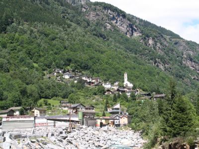
Arvigo, former municipality of Switzerland
Location: Calanca
Elevation above the sea: 876 m
Shares border with: Braggio, Buseno, Cresciano, San Vittore, Selma, Cauco, Osogna
Website: http://arvigo.ch
GPS coordinates: 46.30200,9.11239
Latest update: March 6, 2025 12:13
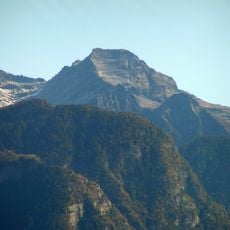
Pizzo di Claro
4.4 km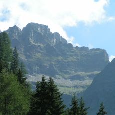
Torent Alto
5.6 km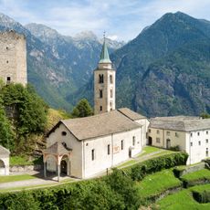
Church of St. Mary of the Assumption and parish house (old convent)
5.1 km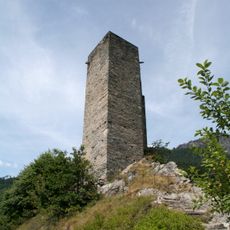
Sta. Maria Castle
5.1 km
Norantola Castle
5.4 km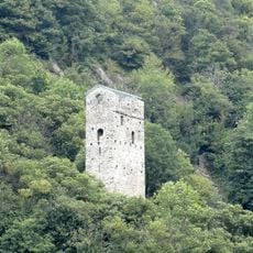
Pala Castle
6.9 km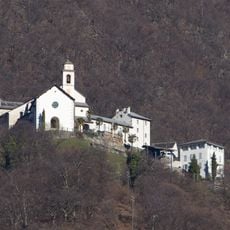
Church and Monastery of St. Mary of the Assumption
7.7 km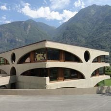
Grono school building
6.6 km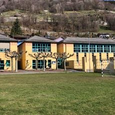
Scuola elementare Castaneda
5.4 km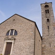
Chiesa cattolica di San Giulio, Roveredo
7.7 km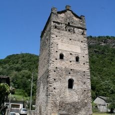
Torre Fiorenzana
6.5 km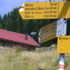
Rifugio Domàs
5 km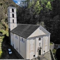
Madonna del Ponte chiuso
8.1 km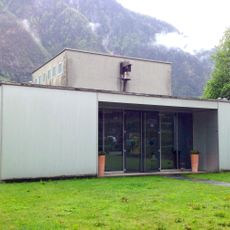
Evangelisches Kirchgemeindezentrum Grono
6.7 km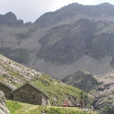
Pizzo di Campedell
4.3 km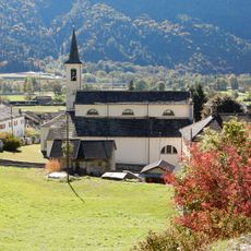
Chiesa cattolica di SS Giovanni e Vittore
7.1 km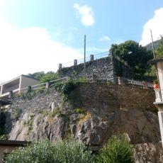
Torre di Beffan
7.1 km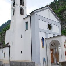
Chiesa dei Santi Giuseppe a Antonio da Padova
7.1 km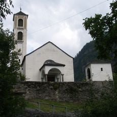
Chiesa di San Lorenzo
75 m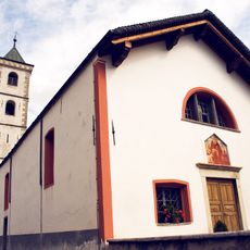
Chiesa Sant’Antonio, Roveredo
7.2 km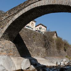
Brücke und Umgebung, Arvigo
266 m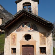
Cappella Madonna di Loreto, Cauco
3.3 km
Palazzo Comacio, Roveredo
7.6 km
Palazzo Toveda, Roveredo
7.6 km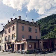
Casa Tenchio, Roveredo
7.3 km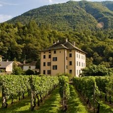
Casa Nicola, Roveredo
8 km
Casa Gabrieli, Roveredo
7.8 km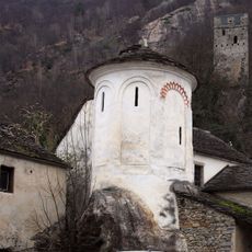
Cappella di San Lucio
7 kmVisited this place? Tap the stars to rate it and share your experience / photos with the community! Try now! You can cancel it anytime.
Discover hidden gems everywhere you go!
From secret cafés to breathtaking viewpoints, skip the crowded tourist spots and find places that match your style. Our app makes it easy with voice search, smart filtering, route optimization, and insider tips from travelers worldwide. Download now for the complete mobile experience.

A unique approach to discovering new places❞
— Le Figaro
All the places worth exploring❞
— France Info
A tailor-made excursion in just a few clicks❞
— 20 Minutes