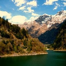
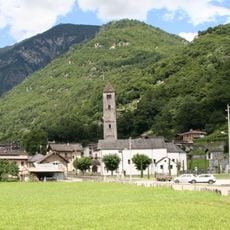
Torent Alto, Mountain peak in Lepontine Alps, Switzerland
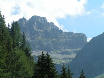
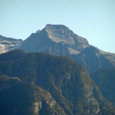
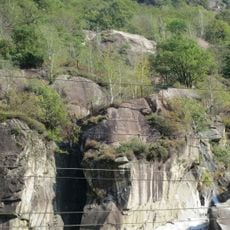
Torent Alto rises to 2952 meters in the Lepontine Alps with three distinct faces: the north side overlooks Val Pontirone, the west faces Valle d'Osogna, and the east drops toward Cauco village. Each face shows different rock formations and slopes.
The peak served as a geographical boundary marker between the cantons of Ticino and Grisons after Swiss cantonal borders were established. Its location made it important for defining regional divisions.
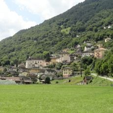
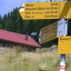
Local Alpine communities use mountain paths for seasonal travel between valleys, keeping traditional routes alive across generations.
Climbers can reach the summit via several marked trails from different directions and starting points. Check weather and snow conditions before starting, as mountain conditions change quickly.
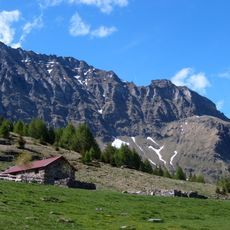
The peak sits at a natural watershed where water flows into three separate valleys through a network of streams. This water divide has shaped local water sources for centuries.
The community of curious travelers
AroundUs brings together thousands of curated places, local tips, and hidden gems, enriched daily by 60,000 contributors worldwide.