
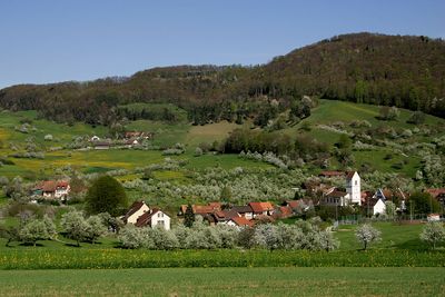
Oltingen, municipality in the canton of Basel-Landschaft in Switzerland
Location: Sissach District
Elevation above the sea: 579 m
Shares border with: Zeglingen, Wenslingen, Anwil
Website: http://oltingen.ch
GPS coordinates: 47.43306,7.93333
Latest update: March 4, 2025 05:40
Geissflue
2.3 km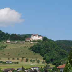
Wartenfels Castle
4.7 km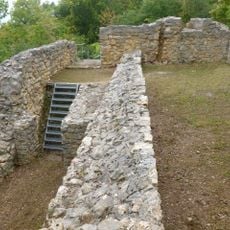
Castle ruin Scheidegg
4.5 km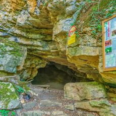
Bruderloch
2.4 km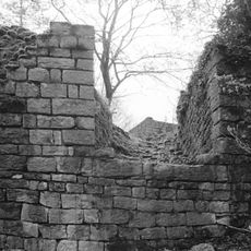
Ruins Ödenburg
3.1 km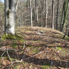
Altschloss
2.2 km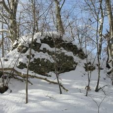
Medieval castle ruins Kienberg-Heidegg
2.9 km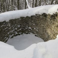
Ruine Alt-Kienberg
1.4 km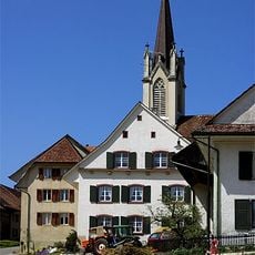
St. Martin Church
2.7 km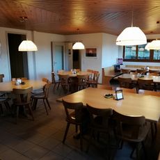
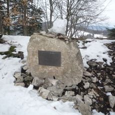
Schafmatt
2.2 km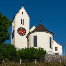
Church with rectory and parish barn
5.7 km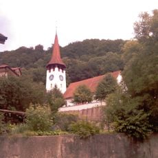
Assumption of the Virgin Mary parish church
2.7 km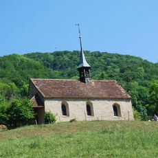
St. Ulrich chapel
3.1 km
Stüsslingen Parish Church
5.4 km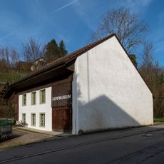
House
5 km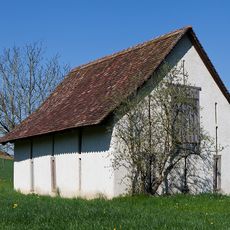
Field barn «Säge»
4.7 km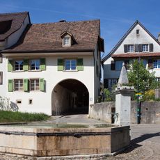
Village square fountain
1.9 km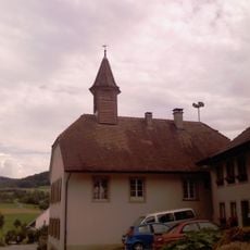
Old village schoolhouse
2.1 km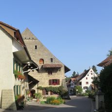
Residential Building (Big House)
195 m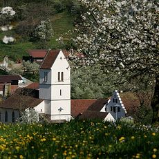
St. Niklaus Reformed Parish Church
40 m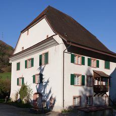
Evangelical Reformed Rectory
3.5 km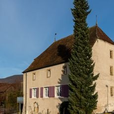
Former granary
5.4 km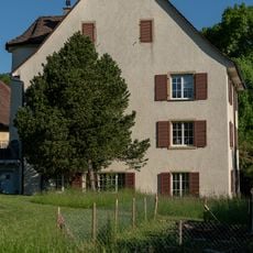
St. Mauritius rectory
5.7 km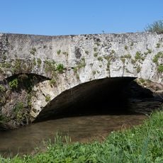
Ergolz bridge «Im Weier»
4.5 km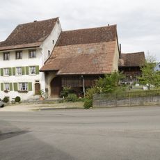
Farmhouse
3.8 km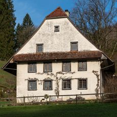
Alte Geige
4.6 km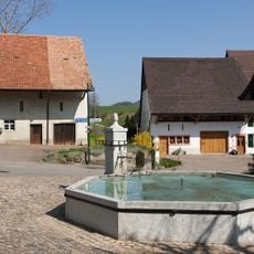
Village fountain
2 km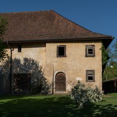
St. Mauritius parish barn
5.7 kmVisited this place? Tap the stars to rate it and share your experience / photos with the community! Try now! You can cancel it anytime.
Discover hidden gems everywhere you go!
From secret cafés to breathtaking viewpoints, skip the crowded tourist spots and find places that match your style. Our app makes it easy with voice search, smart filtering, route optimization, and insider tips from travelers worldwide. Download now for the complete mobile experience.

A unique approach to discovering new places❞
— Le Figaro
All the places worth exploring❞
— France Info
A tailor-made excursion in just a few clicks❞
— 20 Minutes